📷 Image: Wikimedia Commons
High Street
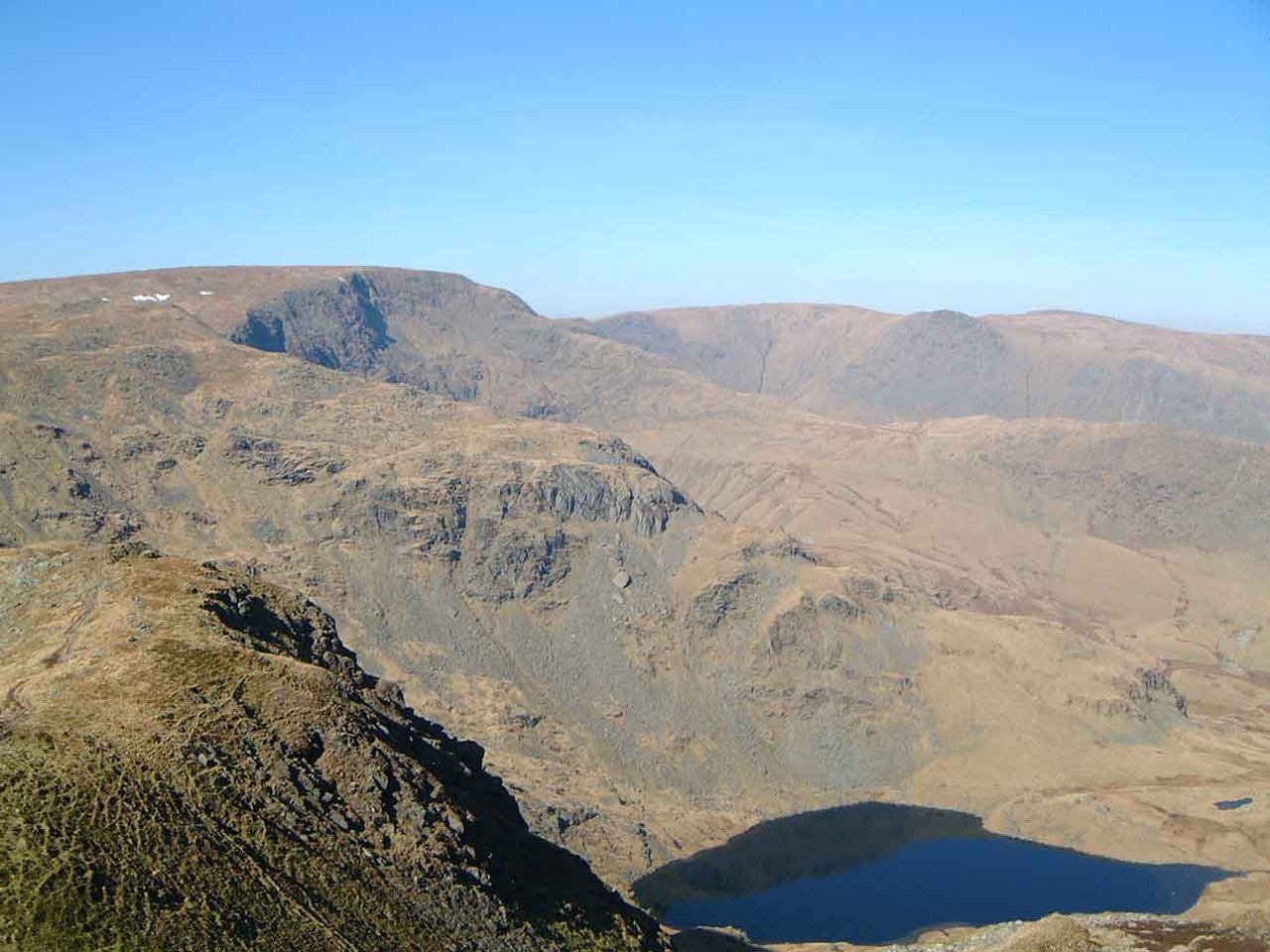
High Street is a fell in the Lake District National Park. Its flat summit rises to 828 metres, the highest point in the eastern Lake District. The fell takes its name from the Roman road that once crossed its top. This road linked forts at Brougham near Penrith with Ambleside, running higher than any other Roman road in England. Gentle slopes and a broad plateau made the route easier than the densely forested valleys below. Some believe the Romans may have followed an older trackway across the fells. The fell’s summit was once a gathering place for summer fairs in the 18th and 19th centuries. Local people met every 12 July to return stray sheep and hold games, wrestling and horse races. The summit is still called Racecourse Hill on maps, and fell ponies sometimes graze there. The last fair was held in 1835, but the wide, open summit remains a landmark. The River Kent rises on the fell’s southern slopes and races south to Kendal and Morecambe Bay. Its 300-metre drop over 40 kilometres makes it England’s fastest-flowing river. A low stone wall follows the ridge to the highest point, marked by a white triangulation column. From here the view stretches east to the Pennines and west across a great arc of Lakeland fells. The Helvellyn range and Southern Fells stand out clearly. The eastern crags drop steeply to Haweswater Reservoir, where two tarns lie in mountain hollows. Blea Water, at 61 metres deep, is the Lake District’s deepest tarn. The fell can be climbed from several valleys, but the full ridge traverse from Ings to the Eamont valley is a demanding 30-kilometre route for experienced walkers.
Opening hours and admission prices change with the season and are therefore not part of this text. Current details from the operator
Discover more in this region
Themes around England
All themes in England →
Nearby
🗺 Create a tour from these spots → ← All places to visit in EnglandQR-Code