📷 Image: Wikimedia Commons
Pass of Drumochter
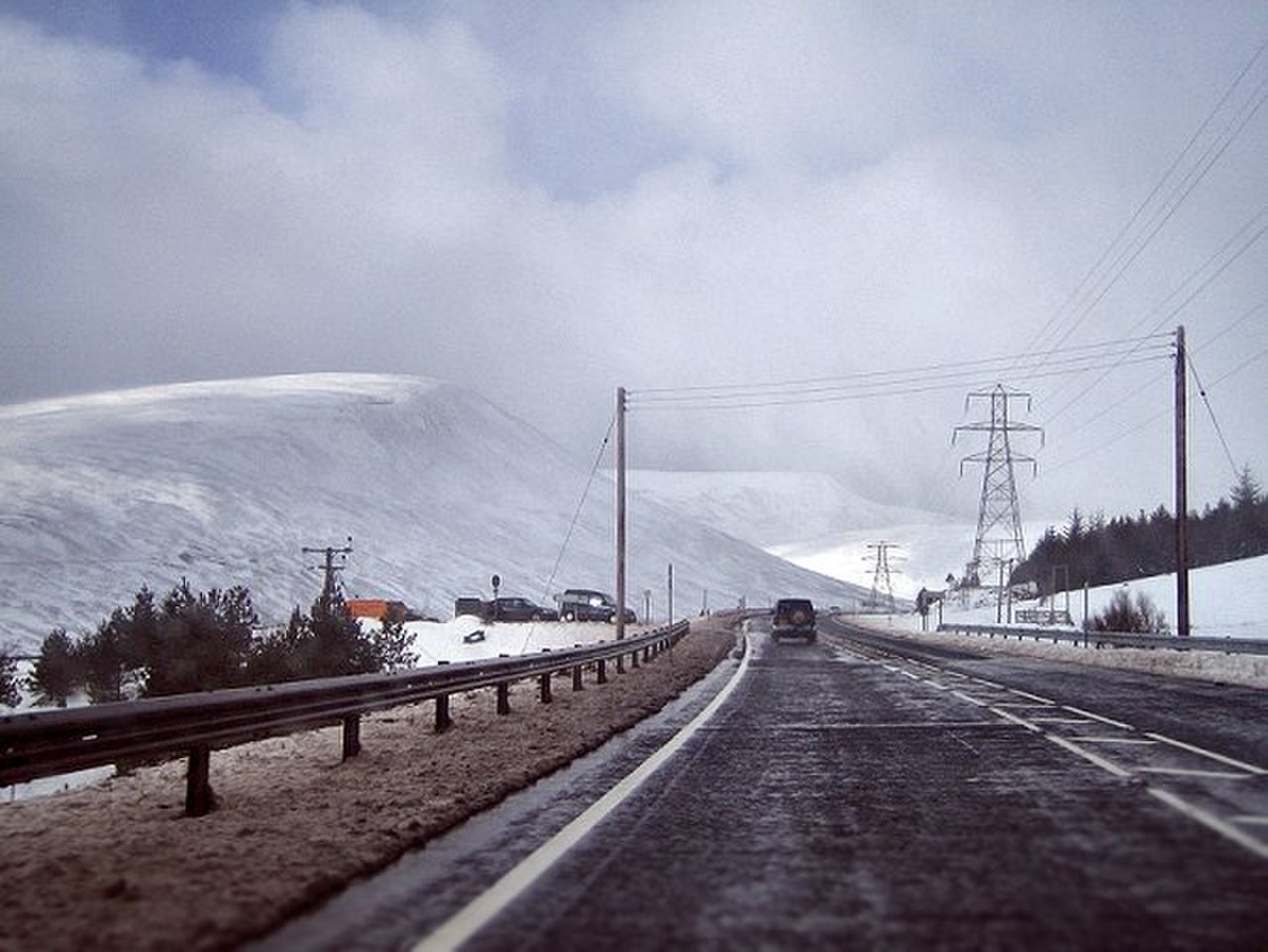
The Pass of Drumochter is a mountain pass in the central Scottish Highlands. It lies between the northern and southern Highlands, where the A9 road and the Highland Main Line railway cross. The Sustrans National Cycle Route 7 also passes through here. The pass is the only major gap in the Grampian Watershed for nearly 100 kilometres. It connects Glen Coe to the west and Cairnwell Pass to the east. The route has been used since prehistoric times and was later improved by General Wade’s military road in the 18th century. The pass reaches 460 metres at its highest point, making it the highest on the A9. The nearby railway summit is 452 metres, the highest in the UK. Severe winter weather often affects the area, with snow gates sometimes closing the road. The pass is remote, with the nearest village, Dalwhinnie, about 10 kilometres away. A sign at the summit marks the boundary between Perth and Kinross and the Highland Council area. The landscape is shaped by glacial action, with rivers like the Garry and Truim flowing from the Gaick Plateau. Loch Ericht lies just to the west, another glacial feature. The area remains a key transport link despite its isolation.
Opening hours and admission prices change with the season and are therefore not part of this text. Current details from the operator
Discover more in this region
Themes around Schottland
All themes in Schottland →
Nearby
- River Truim190 m
- The Sow of Atholl2.6 km
- A' Mharconaich2.6 km
- A' Bhuidheanach Bheag3.2 km
- Loch Garry6.0 km
- Geal-charn3.8 km
QR-Code