📷 Image: Wikimedia Commons
A' Mharconaich
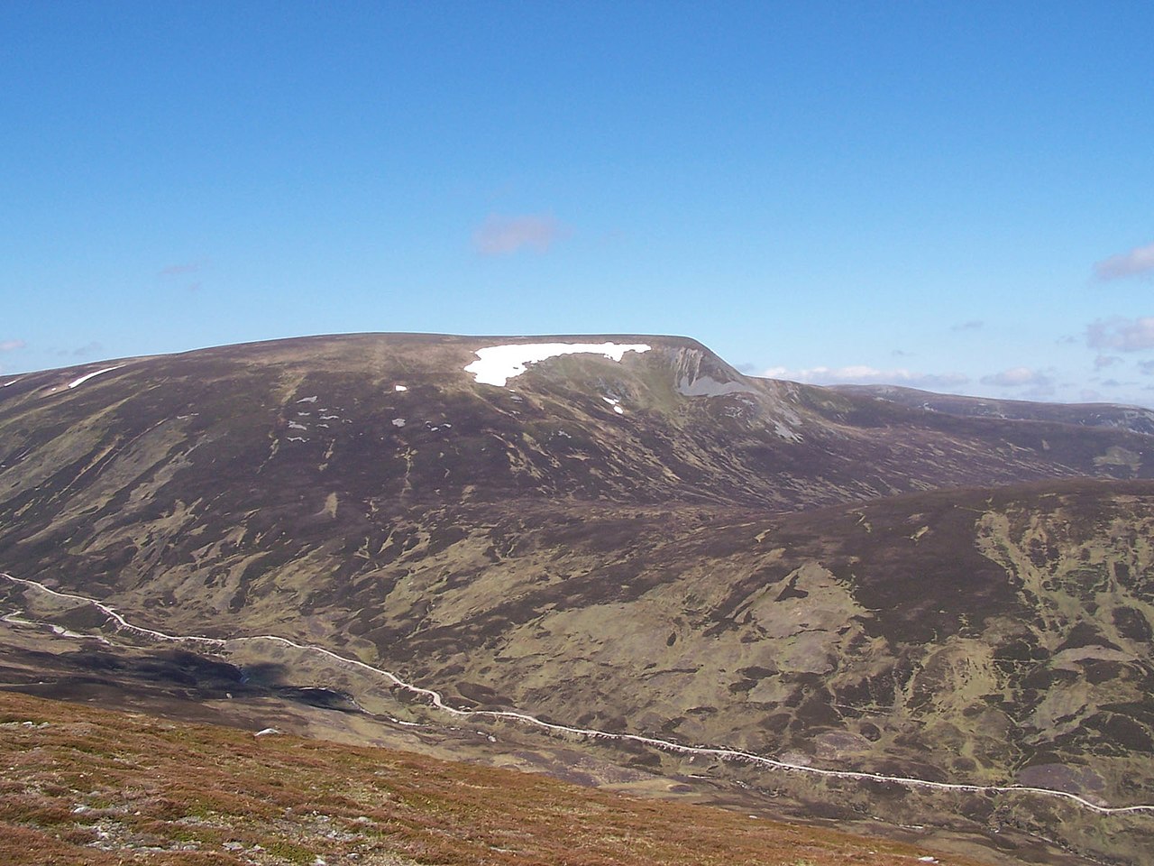
A' Mharconaich is a Munro in the Drumochter Hills, east of Loch Ericht and west of the A9 road in the Scottish Highlands. It stands just inside the Cairngorms National Park though it is not part of the Cairngorms range. The mountain shows its steep eastern flanks to travellers on the A9, with a high corrie beneath the summit. Its Gaelic name means ‘the horse place’, recalling when horses were vital to the local economy. The hill straddles the border between Highland and Perth and Kinross. Old rusting fence posts mark the boundary and help walkers navigate the slopes. The mountain has a summit ridge over a kilometre long with high points at each end. The north-east top is the highest point, confirmed by survey, though the south-west top was once mistakenly listed as the summit. Two steep ridges flank the eastern corrie, one dropping three kilometres to the A9 at Balsporran Cottages. The eastern ridge leads to the Boar of Badenoch, a Graham Top offering fine views into the Pass of Drumochter. To the south-west, A' Mharconaich links to Beinn Udlamain across undulating ground often busy with deer. Walkers can start from the A9 at the Pass of Drumochter or from Balsporran Cottages. Routes take in Coire Dhomhain or the north-east ridge, sometimes combining the nearby Munros of Sgairneach Mhòr, Beinn Udlamain and Geal-chàrn. The summit holds a stone wind shelter instead of a cairn. Views stretch to Loch Ericht and Loch Pattack to the north-west and the Ben Alder massif beyond. Drainage from the mountain feeds both the River Spey and the River Tay.
Opening hours and admission prices change with the season and are therefore not part of this text. Current details from the operator
Nearby
- Geal-charn2.1 km
- Sgairneach Mhòr3.2 km
- The Sow of Atholl3.0 km
- River Truim2.5 km
- Pass of Drumochter2.6 km
- Beinn Udlamain3.4 km
QR-Code