📷 Image: Wikimedia Commons
A' Bhuidheanach Bheag
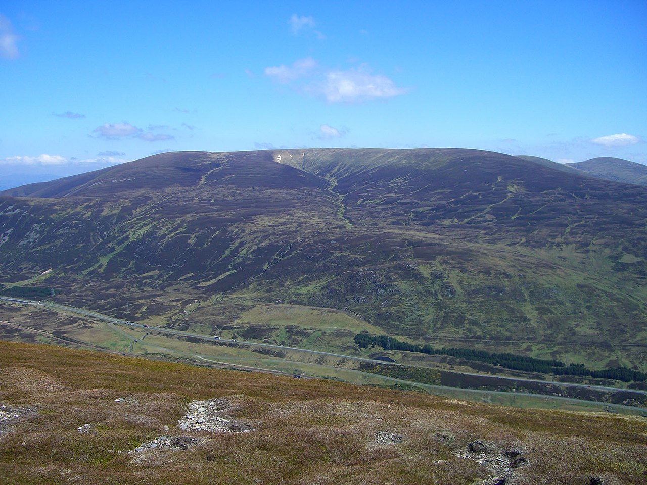
A’ Bhuidheanach Bheag is a mountain in the Grampians, standing on the eastern side of the Pass of Drumochter. The high plateau stretches thirteen kilometres north-east to Loch an t-Seilich in the Gaick Forest. Its average height is over eight hundred metres, with gentle slopes that roll away in all directions. The summit itself is marked only by an OS trig point and a few iron posts from an old boundary fence. Two subsidiary tops rise above three thousand feet, Glas Mheall Mòr and Meall a’ Chaorainn. The mountain’s Gaelic name means ‘Little Yellow Place’, referring to the pale grass on its flanks. The plateau draws hill walkers and ski mountaineers despite its quiet reputation. Eurasian dotterel, ptarmigan, grouse and mountain hare live on the slopes and are often seen by visitors. Two deep coires cut into the eastern and south-western sides: Cama Choire and Coire Mhic-sith. Geologists from the University of Edinburgh studied Coire Mhic-sith and found signs of an ice-dammed lake from the last Ice Age. The lake drained long ago, leaving glacial silt and a spillway to the Edendon Water. A common start is the A9 road near Balsporan Cottages or Coire Chuirn. A more remote route begins at the ruined Sronphadruig Lodge and follows Cama Choire up to the plateau. The wide open sky and sense of space reward those who reach the summit. From the top, walkers can continue north-east to the adjoining Munro of Càrn na Caim across a boggy col. All water from the mountain flows east, most joining the River Tay and the rest heading north to the River Spey.
Opening hours and admission prices change with the season and are therefore not part of this text. Current details from the operator
Nearby
- Carn na Caim4.8 km
- Pass of Drumochter3.2 km
- River Truim3.4 km
- The Sow of Atholl5.1 km
- Dalwhinnie distillery8.1 km
- Loch Garry7.8 km
QR-Code