Landmarks · Weißenberg
Strohmberg
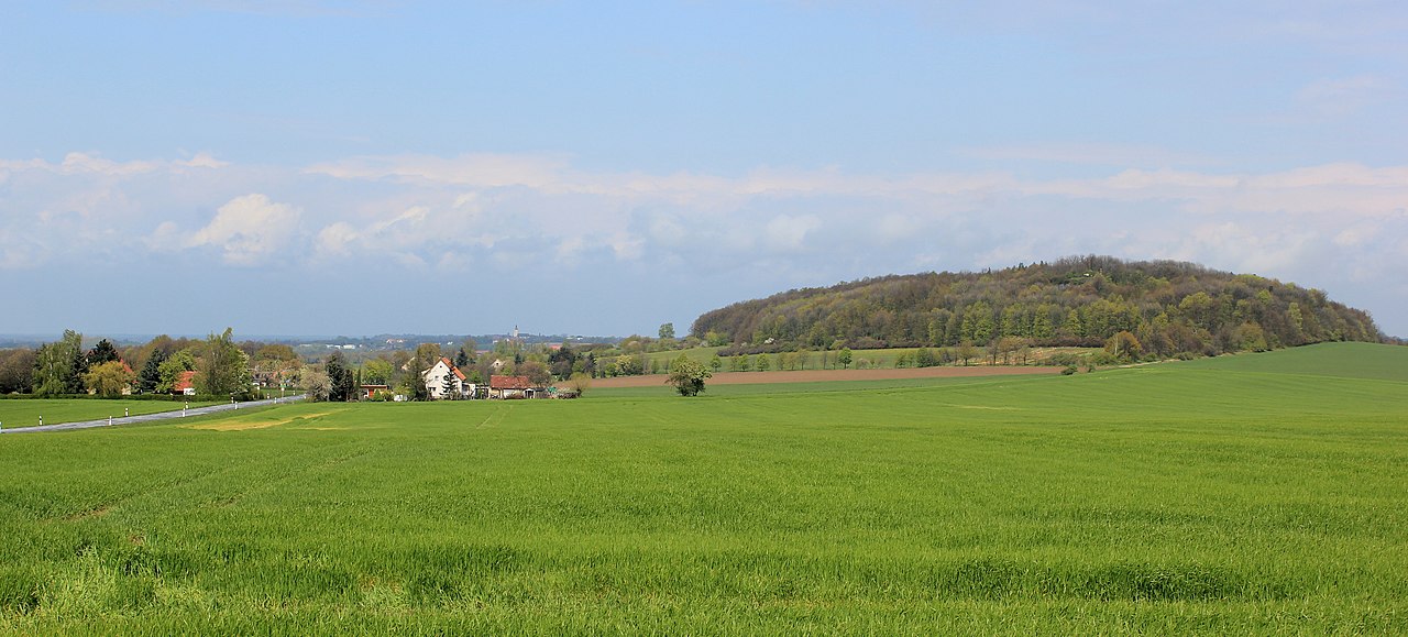
Image: Julian Nyča · CC BY-SA 3.0 · Wikimedia Commons
The Strohmberg is a forested double-peak hill rising 75 metres above the surrounding countryside in the Upper Lusatian countryside of Saxony. It stands two and a half kilometres south of the town of Weißenberg and is surrounded by the Löbauer Wasser stream on its northern and eastern sides. The landscape protection area covers 21.5 hectares of woodland on the twin summits. An old trade road once ran along the eastern base before being rebuilt as the modern S 112 highway on the western side.
The hill is worth visiting for the wide views it offers across the ponds and heaths to the north and the rolling hills reaching as far as Bautzen, the Czorneboh range, the Löbauer Berg and the Riesengebirge on clear days. Scientists including Bernhard von Cotta, Rudolf Virchow and Friedrich Senf carried out geological work here in the 19th century. Traces of an 11th-century Slavic hillfort with a crescent-shaped rampart still lie on the southern summit.
Visitors find two former basalt quarries on the southern and northern flanks, one of which once supplied stone for a nearby railway siding. The summit still bears the remains of the triangulation point used by the Royal Saxon Survey in the 19th century. The slopes support more than three hundred and sixty plant species recorded since the 18th century, alongside a variety of birds, butterflies and land snails.
Sources (1)
- Strohmberg (Wikipedia) (CC BY-SA 4.0, adapted)
Nearby
What lies right next door.

© Jörg Blobelt · CC BY-SA 4.0 Landmarks · 2.1 km
Nostitz

© Julian Nyča · CC BY-SA 3.0 Landmarks · 2.7 km
Weißenberg

© Jörg Blobelt · CC BY-SA 4.0 Churches · 2.1 km
Kirche Nostitz

© Frank Vincentz · CC BY-SA 3.0 Churches · 4.0 km
Lutheran church Groeditz

© PaulT (Gunther Tschuch) · CC BY-SA 4.0 Landmarks · 4.0 km
Gröditz

© Oberlausitzerin64 · CC BY-SA 4.0 3.6 km
Schloss Glossen