📷 Image: Wikimedia Commons
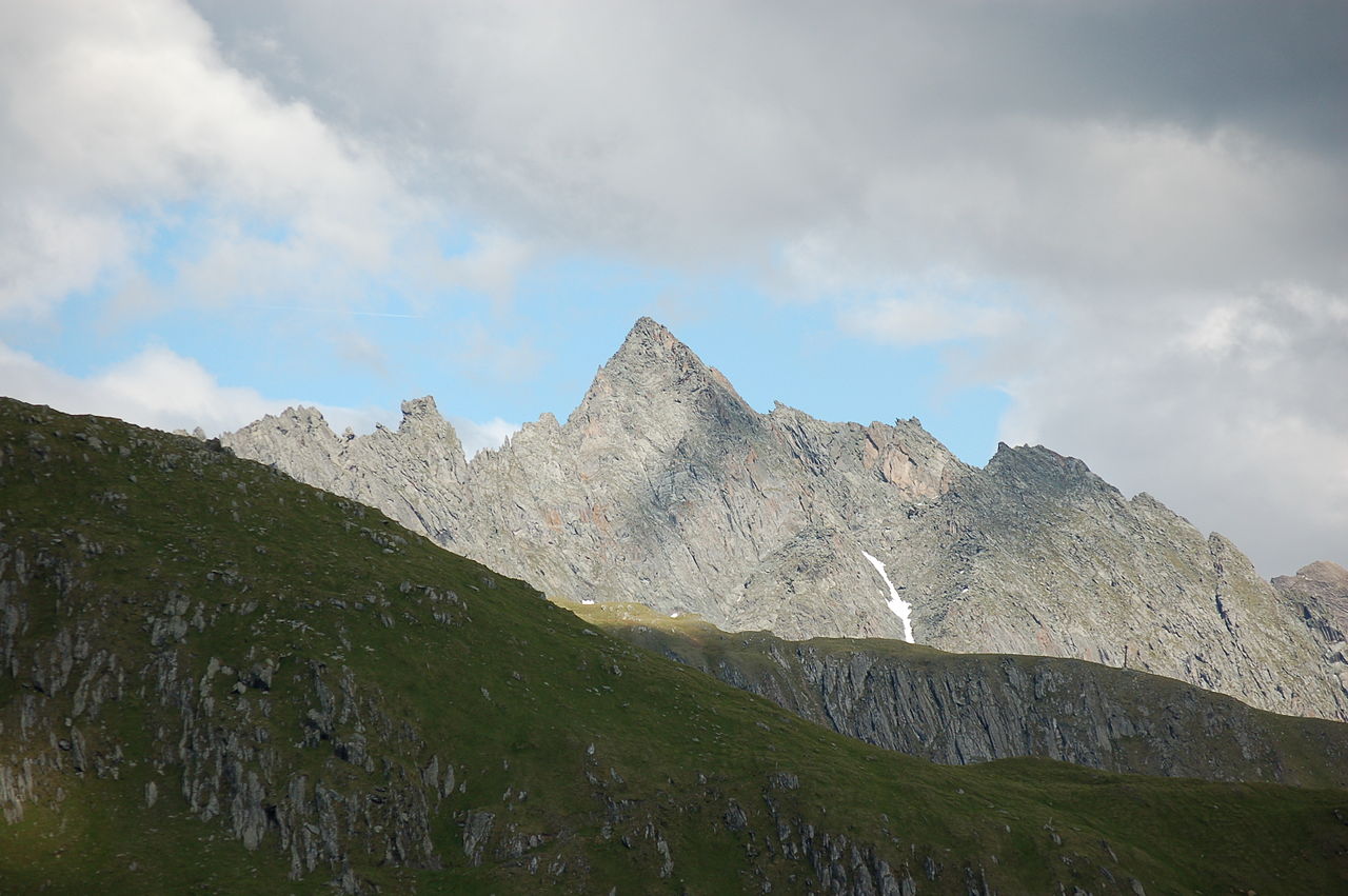
Mittereggspitze
The Mittereggspitze is a 3,044-metre peak in the Frosnitzkamm range of the Venediger Group in East Tyrol. It stands on the border between the municipalities of Matrei in East Tyrol and Virgen, surrounded by the Hohe Tauern National Park. The mountain’s broad northern face drops to the Galtenboden, while the western ridge connects to the Galtenkogel. To the east, the Nördliche and Südliche Göriacher Röte flank the Mittereggspitze, separated by the Frischnitzscharte. Deep valleys frame the massif: the Malfrosnitztal lies to the north and the Virgental to the south. Climbers value the Mittereggspitze for its varied routes and the sense of isolation within the national park. The normal ascent begins at the Bonn-Matreier Hütte and follows a marked path to the Kälberscharte. From there the route descends to the Ledraunboden and crosses the Ödkar before reaching the foot of the South-West Face. The final climb involves scrambling up the face to the South Ridge, which leads over a subsidiary summit to the top. The last metres require careful movement around small pinnacles rated II+. At the summit visitors find a broad, airy platform with panoramic views across the Hohe Tauern. To the north the eye follows the Malfrosnitztal down to the valley floor, while to the south the Virgental stretches away beneath the Venediger peaks. The surrounding walls of the Frischnitzkar and Ödkar frame the horizon, and on clear days the Grossglockner can be seen in the distance. The sense of space and the quiet of the high alpine zone make the Mittereggspitze a rewarding destination for those willing to tackle its ascent.
Opening hours and admission prices change with the season and are therefore not part of this text. Current details from the operator
Discover more in this region
Themes around Tyrol


Nearby
- Zinizachspitze865 m
- Galtenkogel670 m
- Maurer Röte1.0 km
- Nördliche Göriacher Röte1.0 km
- Südliche Göriacher Röte1.2 km
- Pegömlspitze1.5 km
QR-Code