📷 Image: Wikimedia Commons
Türnitzer Höger
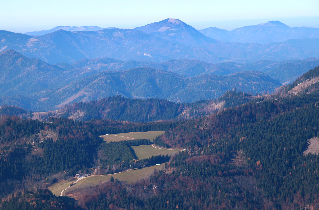
The Türnitzer Höger is a mountain in the Türnitzer Alps, rising 1,372 metres above sea level. It stands nearly 1,000 metres above where the Türnitzer Traisen and Unrecht-Traisen rivers meet to form the Traisen. The nearest villages are Türnitz to the west, Hohenberg to the east and St Aegyd am Neuwalde to the south. From its summit a ridge stretches southwards for about eight kilometres, passing over the Stadlberg, Linsberg and Paulmauer peaks before reaching the Traisenbergsattel pass. The Paulmauer has a 100-metre-high west face. The mountain is worth visiting for its well-marked paths and three staffed alpine huts. The Türnitzer Hütte sits right at the summit, while the Gschwendthütte lies between the Stadlberg and Linsberg, and the Zdarsky-Hütte is south of the Paulmauer. Walkers can reach the top from any of the three villages, and a continuous high-level trail runs along the ridge. The area is known for its dense forests and open grassy slopes. Visitors find sweeping views across the surrounding countryside from the summit and along the ridge. The Türnitzer Hütte offers food and shelter close to the highest point, while the lower huts provide resting places on the long approach routes. The Paulmauer’s steep west wall adds a dramatic touch to the landscape. The trails are suitable for day walks or longer treks, with clear signposts and waymarks throughout.
Opening hours and admission prices change with the season and are therefore not part of this text. Current details from the operator
Discover more in this region
Themes around Lower Austria


Nearby
- Stadelberg2.4 km
- Pfarrkirche Lehenrotte4.4 km
- Pfarrhof Lehenrotte4.4 km
- Paulmauer4.3 km
- Bildstock Volksschule, Lehenrotte4.7 km
- Bildstock Wieshof, Lehenrotte4.7 km
QR-Code