📷 Image: Wikimedia Commons
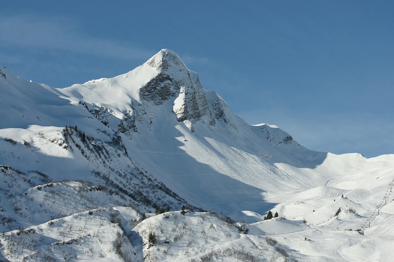
Glatthorn
The Glatthorn stands in the Bregenzerwaldgebirge or Lechquellengebirge of Vorarlberg, reaching 2133 metres above sea level. It forms a striking double summit with the Türtschhorn just to its south. The mountain’s name refers to the smooth flanks of its form. Older maps called it Damülser Horn, a term now fading from use. Dieter Seibert, author of the current Alpine Club guide, notes that the older name applied to a lower subsidiary summit. The Glatthorn is worth the journey because it marks a key boundary in Alpine geography. Walther Flaig, writing in 1977, placed the divide between the Bregenzerwaldgebirge and Lechquellengebirge at the Faschinajoch. Later work by Hubert Trimmel in 1968 shifted the line west of the summit. Seibert’s 2008 guide places the Glatthorn within the Lechquellengebirge group called Glatthorn–Zitterklapfen–Hochkünzel. Visitors find several marked routes to the top. From the Faschina-Fontanella ski area on the north flank, a flower nature trail leads to the Schluchtensattel. From there a steep climb secured with cables takes walkers to the summit. Other marked paths start from Fontanella, Fatnellaalpe or Oberdamüls. A high-level trail runs along the west flank above the Ladritschtobel.
Opening hours and admission prices change with the season and are therefore not part of this text. Current details from the operator
Discover more in this region
Themes around Vorarlberg


Nearby
- Bregenz Forest Mountains38 m
- Türtschhorn831 m
- Damülser Horn986 m
- Pfarrkirche Hl. Nikolaus (Damüls)1.9 km
- Gemeindeamt Damüls1.9 km
- FIS Skimuseum Damüls2.0 km
QR-Code