📷 Image: Wikimedia Commons
Wollenberg
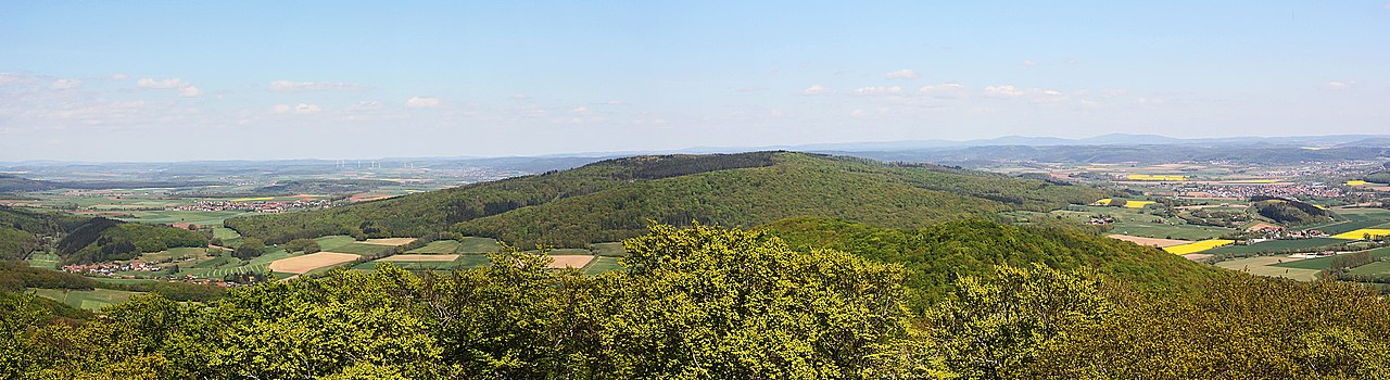
The Wollenberg is a densely wooded hill reaching 474 metres in the Marburg-Biedenkopf district. It stands among the easternmost ridges of the Rhine Slate Mountains. The highest point once held the ruined castle of Eckelskirche, of which only fragments remain. The hill rises south-west of Wetter and forms part of the Wetter-West state forest, covering about fourteen square kilometres. Three summits—Norn at 422 metres, Wollenberg at 467 metres and Eckelskirche at 474 metres—dominate the surrounding countryside. It towers roughly two hundred metres above Wetter’s upper town and nearly ninety metres above the Christenberg near Münchhausen. Villages such as Amönau, Oberndorf, Warzenbach, Brungershausen, Caldern and Sterzhausen frame the forested slopes. Visitors follow marked paths through the Staatsforst Wetter-West. The Natura 2000 site “Lahnhänge between Biedenkopf and Marburg” includes the Wollenberg, protecting its varied habitats. A narrow wooded corridor links the hill westwards to the Homberg, while the Wetschaft valley encloses it on the north and east. The Obere Lahntal borders the south-western flank, offering views across the surrounding ridges.
Opening hours and admission prices change with the season and are therefore not part of this text. Current details from the operator
Discover more in this region
Themes around Hesse


Nearby
🗺 Create a tour from these spots → ← All places to visit in HesseQR-Code