📷 Image: Wikimedia Commons
Hochlantsch
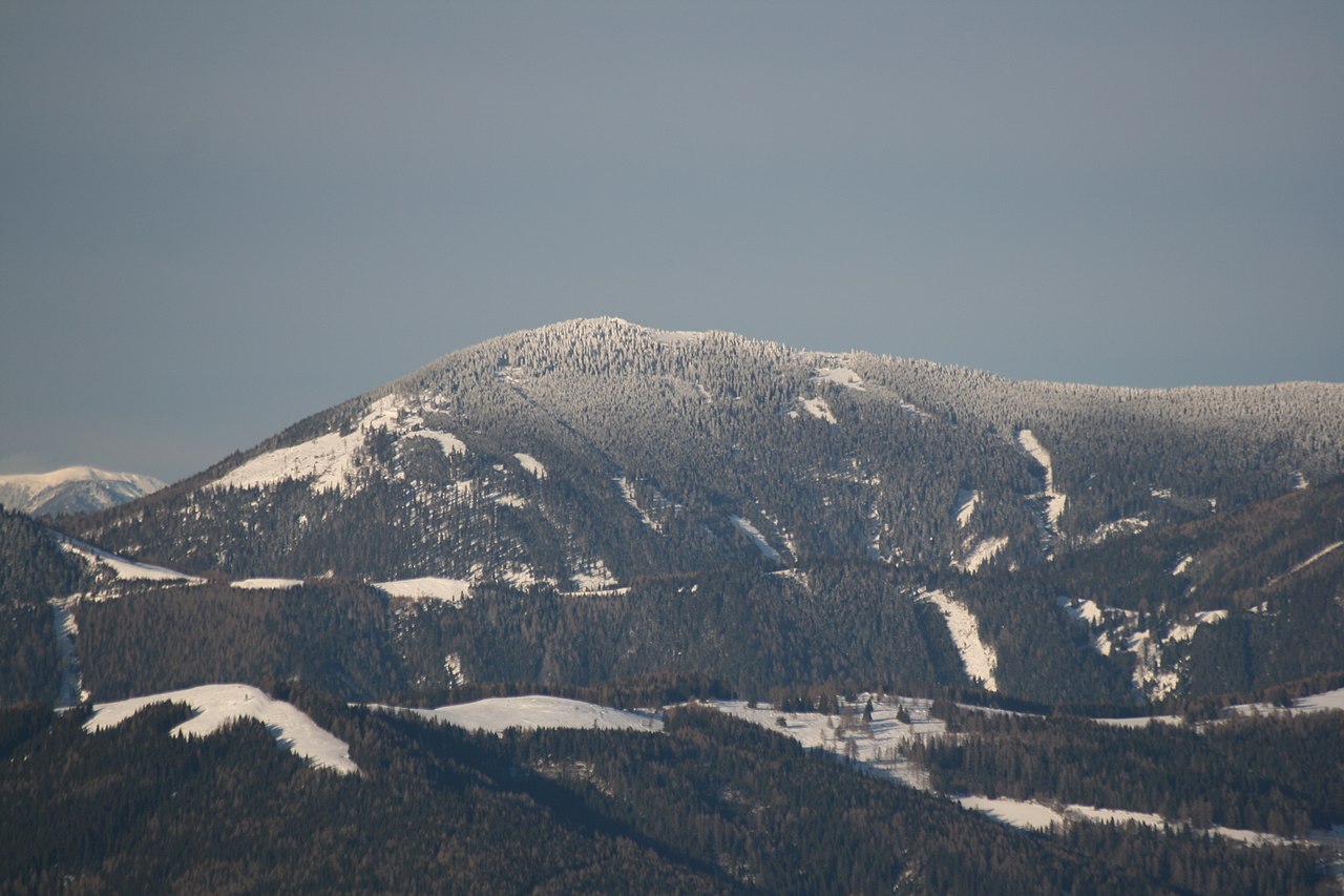
The Hochlantsch rises to 1,720 metres as the highest peak in the Graz Highlands, a range of gentle pre-Alpine hills east of the Mur. To the north its slopes fall sharply into the Lantschmauern cliffs, while the southern flanks roll down towards the Teichalm plateau. Graz lies only about 30 kilometres away, making the mountain a favourite weekend goal for city walkers. The Teichalm itself is a broad upland pasture dotted with cattle and small ponds. From here the land climbs steadily through forests of spruce and beech before opening onto the bare summit ridge. The easiest route takes just under two hours from the Teichalm car park near the Teichwirt inn. A gentler forest track winds up from Mixnitz through the Bärenschütz Gorge, where waterfalls and mossy rocks frame the path. Climbers often choose the Friends of Nature Klettersteig, a protected via ferrata that leaves from the Zirbisegger inn above Breitenau. The route tackles the steep northern face using cables and iron rungs, rewarding effort with wide views over Styria. Below the summit stands the tiny pilgrimage church of Schüsserlbrunn, its frescoes dating from the 18th century. From the top visitors look south across the Graz basin to the Sausal range and the Koralpe. The plateau offers space for a picnic while cattle graze nearby. The descent can follow the same route or branch off towards the inn zum Steirischen Jokl for hearty Styrian dishes. On clear days the Schneealpe and Hochschwab appear on the northern horizon. The mountain’s modest height and good paths make it a satisfying day’s outing without specialist equipment.
Opening hours and admission prices change with the season and are therefore not part of this text. Current details from the operator
Nearby
- Graz Highlands0 m
- Schüsserlbrunn Pilgrimage Church828 m
- Schweineck2.3 km
- Anlage Gut Schafferwerke2.6 km
- Filialkirche Sankt Jakob in der Breitenau3.2 km
- Almerlebnispark Teichalm2.6 km
QR-Code