📷 Image: Wikimedia Commons
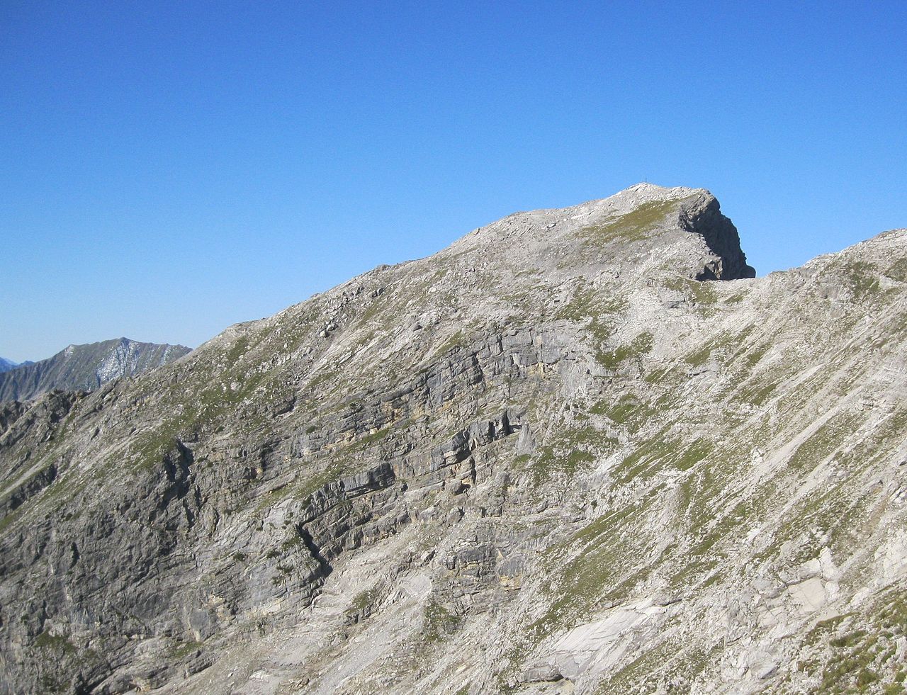
Knittelkar Spitze
The Knittelkarspitze is a 2,376-metre peak in the Lechtal Alps of western Austria. It stands in the Liegfeist group, where it is the highest summit. A narrow, rocky ridge, half a kilometre long, links it to the slightly lower Knittelkarkopf. To the north a four-kilometre ridge drops away, ending at the Schwarzhanskarspitze. Below the mountain lie the villages of Namlos to the south and Kelmen to the east. The mountain has been shaken by several earthquakes, the strongest on 8 October 1930 reached magnitude five. Rockslides occurred on the slopes and nearby Namlos suffered damage, so the village now hosts its own seismic station. Hikers should be aware that the final metres to the top include scrambling rated UIAA grade I. The usual route starts from Kelmen and climbs via the Kelmer Joch and the Knittelkarkopf to the summit. From the Reuttener Hütte in the north-east a high-level path called the Reuttener Höhenweg also reaches the same ridge and joins the main ascent. The broad limestone slabs and the long ridges give wide views over the Lechtal Alps.
Opening hours and admission prices change with the season and are therefore not part of this text. Current details from the operator
Discover more in this region
Themes around Tyrol


Nearby
- Schönjöchl750 m
- Steinkarspitze1.5 km
- Kaplaneikirche Namlos2.3 km
- Pfarrhaus Namlos2.3 km
- Galtjoch2.8 km
- Kapelle Mariahilf2.7 km
QR-Code