📷 Image: Wikimedia Commons
River Tweed
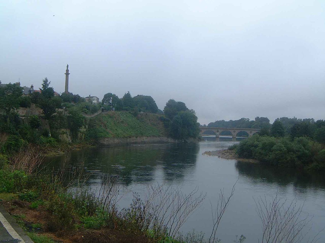
The River Tweed is a 156-kilometre river that flows east across the Scottish Borders and into Northumberland. It rises near the Lowther Hills at Tweed’s Well, close to the sources of the Clyde and the Annan. The river forms part of the historic border between Scotland and England for much of its course. It passes through towns such as Peebles, Galashiels, Melrose and Kelso before reaching Berwick-upon-Tweed on the North Sea. The landscape around the upper Tweed is protected as the Upper Tweeddale National Scenic Area. The Tweed is one of Britain’s great salmon rivers and supports a thriving angling industry. It attracts visitors from around the world who come to fish its waters. The river also gives its name to tweed cloth, a fabric long associated with the region. Management of the river is handled by the River Tweed Commission, which oversees water quality and salmon protection across the border. A new walking and cycling route, the River Tweed Trail, is being developed to follow the river’s entire length. Visitors find a varied landscape shaped by ancient ice streams, with drumlin fields visible east of St Boswells. The river’s tributaries include the Teviot Water, Leader Water and Gala Water, each adding to the scenery. The Tweed Trail will offer 182 kilometres of paths for walking and cycling when complete. Along the way, towns like Innerleithen and Coldstream provide places to rest and explore. The river’s final stretch leads to Berwick-upon-Tweed, where it meets the North Sea.
Opening hours and admission prices change with the season and are therefore not part of this text. Current details from the operator
Discover more in this region
Themes around Schottland
All themes in Schottland →
Nearby
- Berwick Lighthouse112 m
- Berwick town walls1.0 km
- Kings Own Scottish Borderers Regimental Museum1.1 km
- Cowport1.2 km
- Berwick Museum and Art Gallery1.1 km
- King's Own Scottish Borderers Regimental Museum1.2 km
QR-Code