📷 Image: Wikimedia Commons
Glockner Group
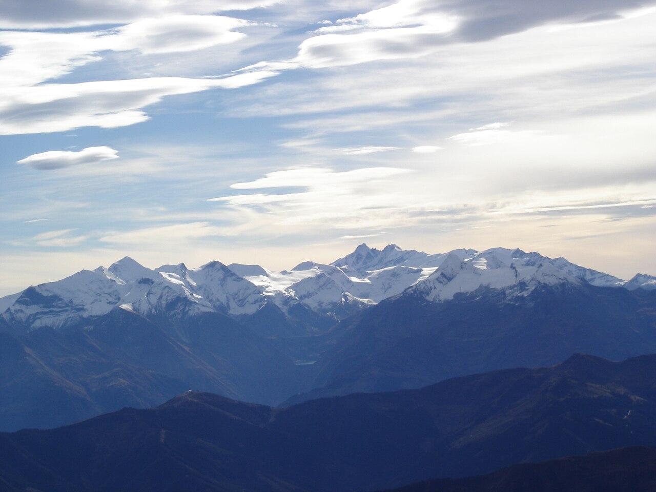
The Glockner Group is a high mountain range in the Austrian Central Alps. It lies in the centre of the High Tauern along the main chain of the Alps. The group spans three federal states: Salzburg, Tyrol and Carinthia. Their borders meet at the summit of the Eiskögele. The highest peak is the Großglockner, which also stands as Austria’s tallest mountain. Large parts of the group belong to the core zone of the High Tauern National Park. The Pasterze, Austria’s largest glacier, flows from the Großglockner. The region is well organised for tourism. Roads and bus transfers reach deep into the mountains, allowing visitors to travel by car or public transport. A network of Alpine huts provides overnight stays for walkers and climbers. The huts range from the Glocknerhaus at 2,132 metres to the Erzherzog Johann Hut at 3,454 metres. Power stations at Kaprun, Franz Josefs Höhe and Enzingerboden use water from the Glockner Group to generate electricity. The landscape also includes several reservoirs, such as the Margaritze and Weißsee. Visitors find dramatic peaks, wide glaciers and high valleys. The Großglockner High Alpine Road climbs to Franz Josefs Höhe, offering views of the Pasterze glacier. Alpine huts sit at different heights, each providing a base for walks and climbs. The Stubachtal valley leads to the Enzingerboden plateau, where a weather station records conditions. The reservoirs near Kaprun reflect the surrounding mountains. The area’s roads and paths connect the valleys, glaciers and summits into one vast mountain world.
Opening hours and admission prices change with the season and are therefore not part of this text. Current details from the operator
Discover more in this region
Themes around Tyrol


Nearby
- Summit cross of Großglockner65 m
- Grossglockner67 m
- Kleinglockner179 m
- Teufelshorn311 m
- Hofmannspitze782 m
- Pöschlturm800 m
QR-Code