📷 Image: Wikimedia Commons
Burg Auchtbühl
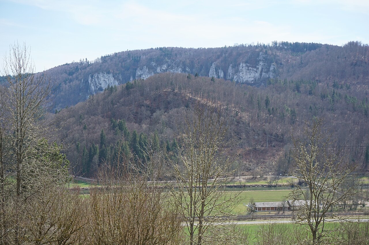
The Burg Auchtbühl stands on a low ridge above a loop of the Danube, 650 metres south-east of Neidingen in the Beuron valley. The ruin occupies a flat spur at 691 metres above sea level, where the river bends sharply around the hill. It was built at the latest in the 13th century by the Lords of Hausen, who also held the nearby Schauenburg. By 1497 the place was already called a Burgstall, meaning only earthworks and ditches remained. Archaeologists have measured the whole site at 4 600 square metres, with the inner stronghold covering 800 square metres. Historians Günter Schmitt and Hans-Wilhelm Heine have studied the remains in detail. Schmitt’s Burgenführer Schwäbische Alb describes how the spur was defended by two ditches and a rampart. Heine’s work on defences between the Danube and Lake Constance shows that the Burgstall was part of a chain of small watch-posts along the river. A 1978 report by Heine for the state monument office records the surviving walls and the layout of the inner ward. The site is now quiet, with only the grass-covered banks marking where walls once stood. Visitors reach the spur by a farm track from Neidingen and walk the last few hundred metres along a field edge. The two outer ditches are still visible as shallow hollows, while the inner ditch cuts deeper beside the rampart. From the highest point there is a wide view down the Danube valley and across to the wooded slopes of the Swabian Alb. The air is still and the only sounds are birds in the hedges and the occasional train on the line below. The place feels remote despite the valley road a few hundred metres away.
Opening hours and admission prices change with the season and are therefore not part of this text. Current details from the operator
Discover more in this region
Themes around Baden-Württemberg


Nearby
- Burgstelle Schauenburg, Donautal574 m
- Burg Linzenberg893 m
- Burg Neidingen986 m
- Neidinger Heidenschloss (Burg Jagberg), Donautal1.2 km
- Ruine Hausen2.1 km
- Kreenheinstetten3.8 km
QR-Code