📷 Image: Wikimedia Commons
White Cliffs of Dover
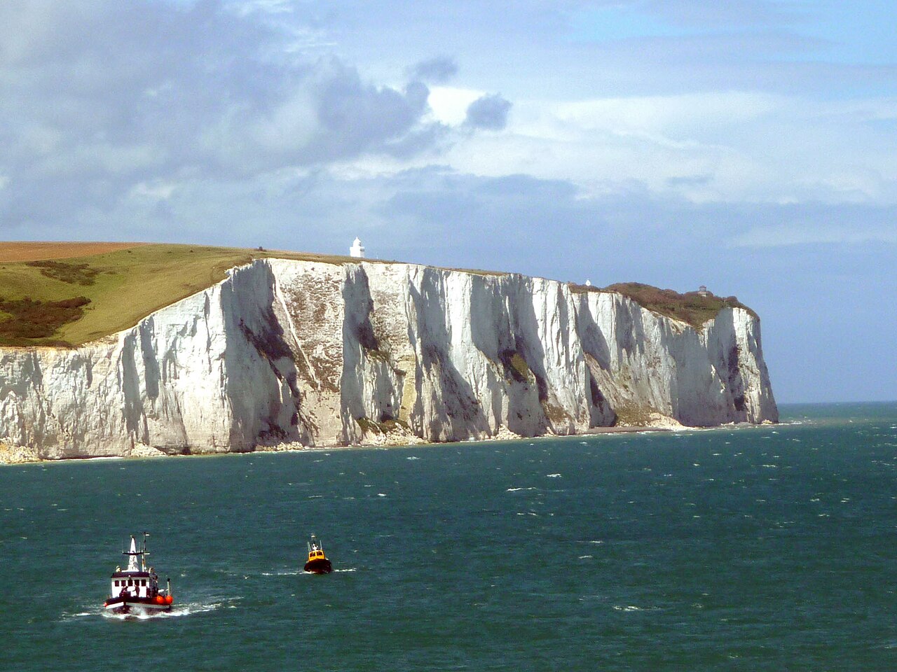
The White Cliffs of Dover rise along the Kent coast where the English Channel narrows to its narrowest point. Their bright white chalk face, streaked with black flint, stretches for eight miles on either side of the port of Dover. The cliffs form part of the North Downs and are designated a Site of Special Scientific Interest and Special Area of Conservation. Above the edge, a chalk grassland supports many wildflowers, butterflies and birds. The cliffs mark the shortest crossing between Britain and continental Europe. The cliffs have drawn visitors since ancient times and were noted by Julius Caesar in 55 BC. Dover Castle, built in the 11th century, stands on the cliffs as a historic defence. During the Second World War they became a symbol of British resolve and a welcome sight for troops returning from Dunkirk. On clear days the cliffs are visible from the French coast twenty miles away. The same chalk formation continues along the Alabaster Coast of Normandy. Visitors walk along cliff-top paths that offer wide views over the Channel. The National Trust’s Gateway building provides information on local history and geology. Rangers manage Exmoor ponies to graze invasive plants and protect native flora. Peregrine falcons nest on the cliffs alongside fulmars and kittiwakes. Wildflowers such as early spider orchid and viper’s-bugloss colour the slopes. Rock samphire and oxtongue broomrape grow on the cliff faces where butterflies feed on horseshoe vetch.
Opening hours and admission prices change with the season and are therefore not part of this text. Current details from the operator
Nearby
- South Foreland Upper Lighthouse1.2 km
- South Foreland Lower Lighthouse1.5 km
- Dover Breakwater Knuckle light2.2 km
- St Margaret's Museum2.4 km
- Port of Dover2.6 km
- Block No 36 Dining Hall And Tower2.5 km
QR-Code