📷 Image: Wikimedia Commons
West Dart River
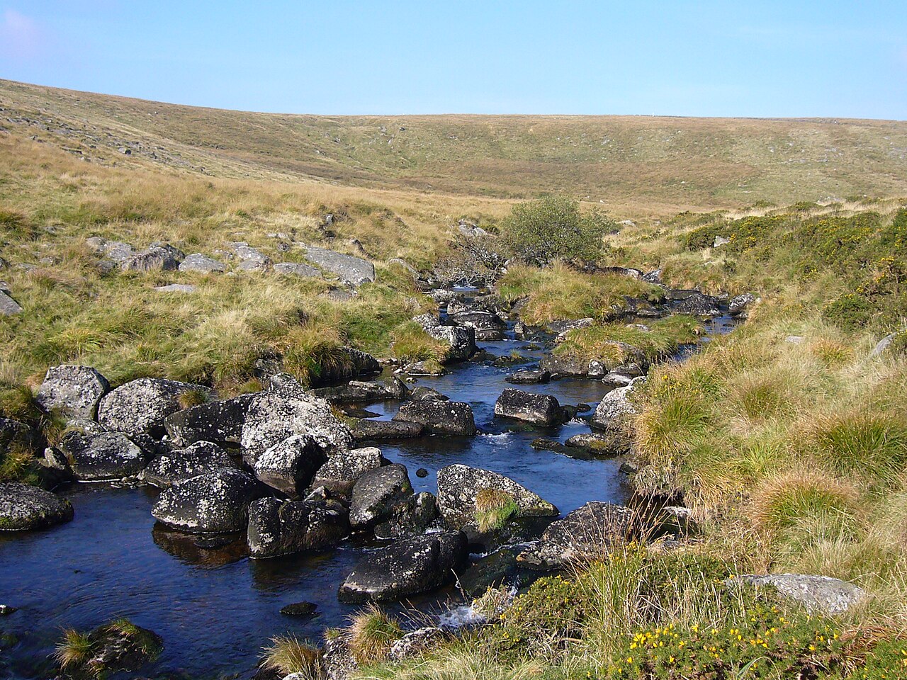
The West Dart River rises just north of Rough Tor on northern Dartmoor. It flows south to Two Bridges, then turns south-east past Hexworthy before joining the East Dart at Dartmeet. The river’s main tributaries include the Cowsic, Blackbrook, Swincombe and O Brook on the right bank, and Cherry Brook on the left near Sherberton. Wistman’s Wood, a rare upland oakwood, stands on the left bank about a mile above Two Bridges. Its gnarled trees and mossy boulders create a landscape unlike any other on the moor. Dartmoor’s high rainfall feeds the West Dart throughout the year. The river’s clear waters carve through granite outcrops and rush over shallow rapids. Walkers follow the West Dart’s course along well-marked tracks that cross heather moorland and oak-dappled valleys. The Cowsic joins at Two Bridges, where the river widens briefly before narrowing again. At Dartmeet the West Dart and East Dart merge to form the main River Dart. Visitors find open moorland, steep wooded ravines and rushing streams along the West Dart. Wistman’s Wood shelters beneath the tor’s shadow, its twisted oaks festooned with lichen. The river’s banks are lined with bilberry and heather, while granite boulders break the flow into small cascades. Dartmeet offers a wide gravel spread where the two rivers join, a popular spot for picnics and sketching. The tracks beside the West Dart lead to lonely tors and hidden valleys, where the only sounds are wind and water.
Opening hours and admission prices change with the season and are therefore not part of this text. Current details from the operator
Discover more in this region
Themes around England
All themes in England →
Nearby
- Two enclosed stone hut circle settlements 300m south of Broad Hole1.2 km
- Enclosure and stone hut circle 200m south of Broad Hole1.2 km
- Enclosure and stone hut circle 160m south east of Broad Hole1.3 km
- Pillow mound 670m WNW of Longaford Tor forming an outlying part of a rabbit warren on the western slopes of Longaford and Littaf1.3 km
- Enclosed stone hut circle settlement on the south-east slope of Conies Down Tor1.6 km
- Enclosed prehistoric settlement 650m south west of Longaford Tor1.2 km
QR-Code