Mountains · Martindale
Hallin Fell

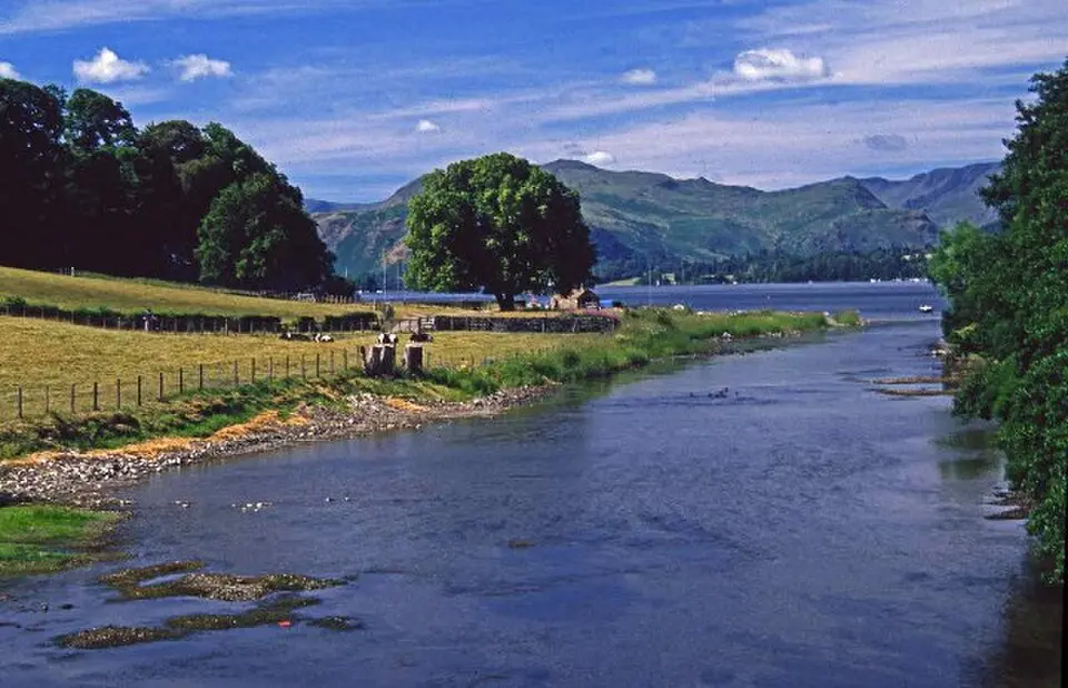
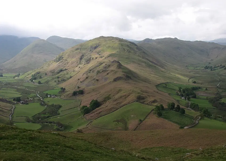
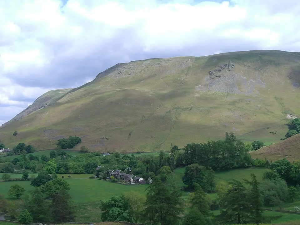
Hallin Fell is a small hill in Cumbria’s Lake District, almost an island of green between the deep waters of Ullswater. It rises where three valleys—Rampsgill, Bannerdale and Boredale—are forced to curve around its slopes before they reach the lake. The fell’s smooth southern side drops gently to the shore, while its northern edge juts into the water as Geordie’s Crag. A single road with sharp hairpin bends marks its southern boundary, climbing to the col called The Hause. From any viewpoint it looks like a self-contained dome, separate from the long ridge that feeds into it from Steel Knotts.
The fell is recognised as a Marilyn, a hill that stands out even among Lake District giants. Alfred Wainwright wrote that the southern grass could be climbed ‘comfortably in bare feet’, and the summit is crowned by a tall square cairn that acts as a handy survey point. From the top, walkers look out over Martindale Common and the High Street Roman road, while Helvellyn and Blencathra frame the skyline. Smaller cairns scattered along the ridge offer extra vantage points without adding much extra height.
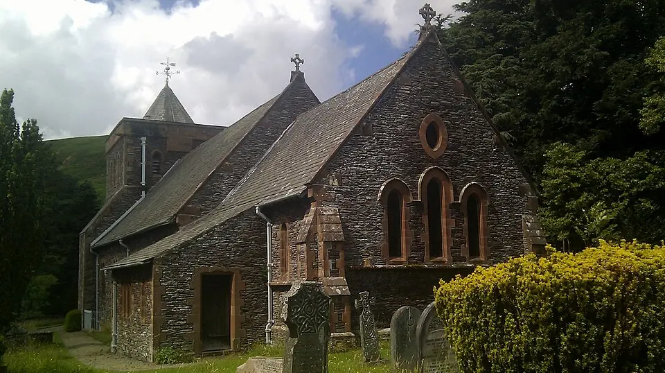
Paths start at Howtown hamlet or St Peter’s Church near The Hause, and the climb to the obelisk is brief and straightforward. The lakeside walk from Howtown to Patterdale passes beneath Geordie’s Crag, winding through light woodland and over easy rock steps. A steamer on Ullswater can bring walkers to Howtown, letting them descend the hill without retracing their steps. The fell’s modest height and gentle gradients make it a quiet counterpoint to the surrounding fells, yet its views are wide and satisfying.
Sources (1)
- Hallin Fell (Wikipedia) (CC BY-SA 4.0, adapted)
Nearby