📷 Image: Wikimedia Commons
Craigowl Hill
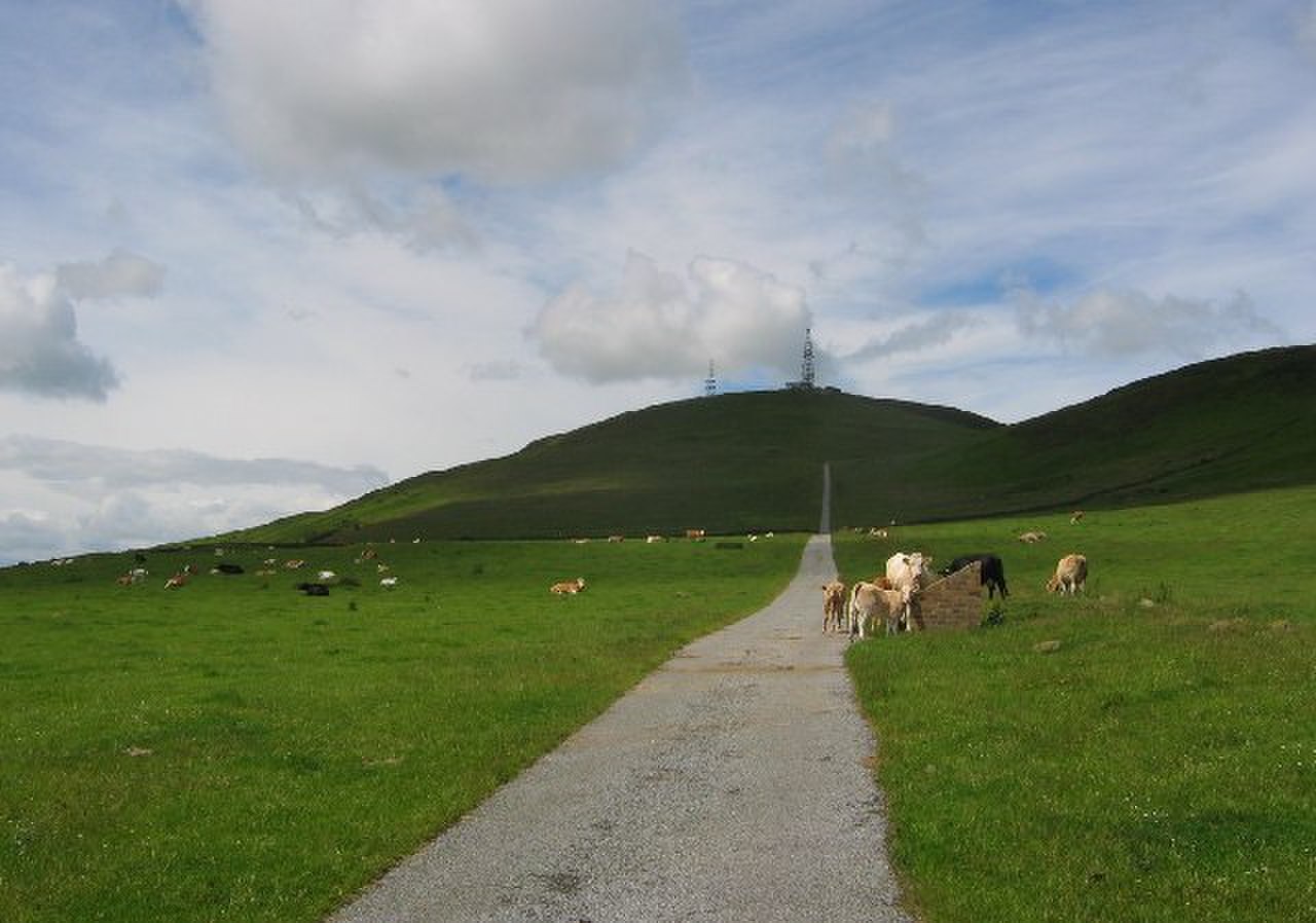
Craigowl Hill stands at the eastern end of the Sidlaw Hills in Angus, northeast of Kirkton of Auchterhouse and about eight kilometres north of Dundee. It is the highest point in the range and known for its steep cycling climb. The hill rises over 400 metres above sea level and offers wide views across Angus and beyond. Its slopes are covered with heather and rough grass, typical of the Sidlaw landscape. The summit is marked by a trig point, a common feature on Scottish hills. Walkers often reach it via paths from nearby farms or the A92 road. The hill has historical importance as the origin of Ordnance Survey maps for Angus. In the 19th century, surveyors used Craigowl Hill as a geodetic station for mapping the region. Its trig point helped fix the six-inch and 1:2500 scale maps that covered the county. This role makes it recognised among map-makers and historians. The hill also appears in local walking guides and cycling challenges. Its name comes from the Gaelic for ‘rock hill’, reflecting its rugged surface. Visitors find a quiet, open summit with panoramic views. On clear days, the Firth of Tay, Dundee, and the Grampian Mountains are visible. The surrounding Sidlaw Hills stretch away in gentle ridges. Paths lead up from farm tracks or forest edges, making it accessible without specialist equipment. The climb is tough for cyclists, with a steady gradient over three kilometres. The hill’s isolation and height give a sense of space rarely found near cities.
Opening hours and admission prices change with the season and are therefore not part of this text. Current details from the operator
Discover more in this region
Themes around Schottland
All themes in Schottland →
Nearby
- Tower, Strathmartine Castle3.7 km
- Strathmartine Castle3.8 km
- Ark Hill3.2 km
- Balgowan5.8 km
- Tealing, souterrain4.1 km
- Angus Folk Museum6.9 km
QR-Code