📷 Image: Wikimedia Commons
Ingleborough
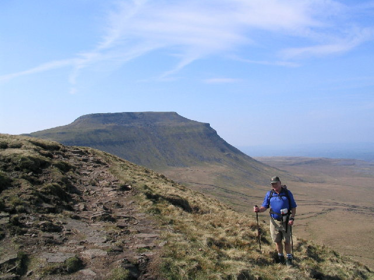
Ingleborough stands 723 metres above the Yorkshire Dales, a broad plateau capped by limestone cliffs and moorland turf. It forms one of the Yorkshire Three Peaks, linked by ridges to Whernside and Pen-y-ghent. The mountain is a Site of Special Scientific Interest and a National Nature Reserve under the Wild Ingleborough project. Its summit plateau holds a hillfort of Iron Age or Bronze Age date, with stone ramparts and hut circles still visible. The slopes carry limestone pavements, potholes and erratic boulders such as the Norber stones. White Scar Caves run for six and a half kilometres beneath the western plateau, while Raven Scar presents the district’s longest unbroken cliff. The Happy Valley and Ebbing and Flowing Well lie on the southern flanks, and the Celtic Wall marks an ancient boundary. Walkers reach the summit by several routes, each crossing limestone pavement or moorland. The Ingleton path climbs through Crina Bottom past Quaking Pot to a windshelter and trig point. The Horton route follows Sulber Nick across open fell, and the Clapham path passes Ingleborough Cave and Gaping Gill before joining the ridge. From the Hill Inn in Chapel-le-Dale the shortest ascent rises steeply to Simon Fell and the summit plateau, offering wide views across the Dales.
Opening hours and admission prices change with the season and are therefore not part of this text. Current details from the operator
Discover more in this region
Themes around England
All themes in England →
Nearby
- Settlement 1/3 mile (540m) SE of Chapel le Dale2.2 km
- Gaping Gill2.1 km
- Ingleborough Cave3.7 km
- Clapham cum Newby5.0 km
- Long Churn Cave3.3 km
- Settlement on Gauber High Pasture Rock4.6 km
QR-Code