📷 Image: Wikimedia Commons
Baosbheinn
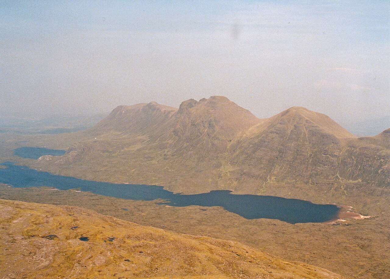
Baosbheinn is a mountain in the Torridon area of the Northwest Highlands. It stands in a remote part of the Flowerdale deer forest about 39 kilometres north-north-east of Kyle of Lochalsh. The mountain is made of Torridon Sandstone and reaches 875 metres at its highest point. Its long ridge runs for three kilometres with only small drops in height along its length. The south-west slopes fall steeply towards Loch a’ Ghobhainn while the north-east side has three rocky corries. The mountain is the 56th highest Corbett and the 277th highest Marilyn in Scotland. A strong hill walker can combine Baosbheinn with the nearby Corbett of Beinn an Eoin for a demanding 21-kilometre circular route that takes six to nine hours. The name Baosbheinn comes from the Scottish Gaelic language and is often translated as ‘wizard’s hill’. Local people in Wester Ross also call it ‘mountain of the face’ because it looks like a human head when seen from Gairloch in morning light. The summit ridge has five main high points, including the main summit called Sgorr Dubh. Three north-facing corries lie on the north-east side, with An Rèidh-choire being the largest and smoothest. A notable feature is a large protalus rampart formed after the last ice age when rockslides piled up about 200,000 cubic metres of boulders. The north-west end of the mountain, where the rampart lies, is protected as a Site of Special Scientific Interest covering 39 million square metres. The usual route starts at a parking place on the A832 road and follows a track past a recently planted forest of over a million native trees.
Opening hours and admission prices change with the season and are therefore not part of this text. Current details from the operator
Nearby
- Beinn Alligin4.1 km
- Tom na Gruagaich5.3 km
- Beinn an Eoin3.4 km
- Beinn Dearg5.1 km
- Victoria Falls6.0 km
- Eas Allt a’ Chaise7.7 km
QR-Code