📷 Image: Steffen 962 · CC0 · Wikimedia Commons
Kalmit
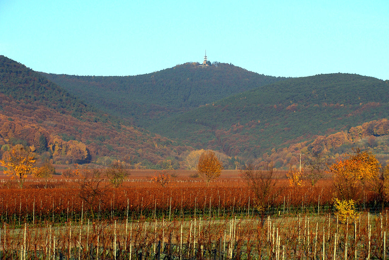
The Kalmit is the highest peak in the Palatinate Forest, standing 672.6 m above sea level. It lies 5.5 km south of Neustadt an der Weinstraße within the municipal forest of Maikammer. Several lower peaks surround the main summit, including the Hüttenberg to the southwest, which features a blockfield of large bunter sandstone boulders. The mountain belongs to the Palatine Forest, a natural region classified in the Handbook of the Natural Region Divisions of Germany. The Haardt range forms its boundary with the Upper Rhine Plain. The Kalmit attracts many visitors with its footpaths, mountaintop restaurant and striking rock formations. A 21-metre-high observation tower built in 1928 once offered panoramic views across the Palatinate Forest and beyond. The summit also hosts a weather station, a radio tower broadcasting RPR1 and BigFM, and an amateur radio relay station erected in 1971. Since 2012, a visibility measuring station records fine-dust content in the air for the Palatine Forest-North Vosges Biosphere Reserve. From the summit, visitors can see the Rhine Plain more than 500 m below and nearby villages such as Maikammer and St. Martin. On clear days, distant ranges like the Odenwald and Black Forest appear. The Hüttenberg Felsenmeer offers bouldering opportunities among large sandstone blocks. The steep Kalmitstraße road is used for cycling and running events, including Christoph Fuhrbach’s 2009 endurance run of 488 km in 24 hours.
Opening hours and admission prices change with the season and are therefore not part of this text. Current details from the operator
Discover more in this region
Themes around Rhineland-Palatinate


Nearby
- Kalmit Observation Tower32 m
- Taubenkopf661 m
- Breitenberg1.2 km
- Haardt1.6 km
- Hohe Loog (Haardt)1.9 km
- Hochberg (Haardt)2.3 km
QR-Code