📷 Image: Wikimedia Commons
River Churnet
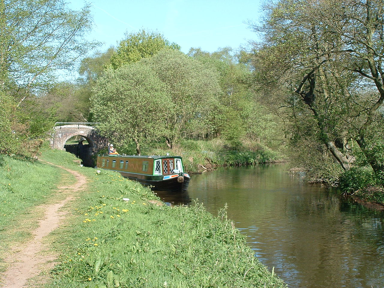
The River Churnet rises high in the Staffordshire moorlands, above 300 metres, close to the gritstone edge of the Roaches and the A53 road between Leek and Buxton. It begins near Black Brook yet soon turns east, heading for Tittesworth Reservoir which supplies water to the Potteries and Leek. After leaving the dam the river winds through the ancient market town of Leek, where it once powered dye works for the silk trade. The river then flows south into the Churnet Valley, a stretch of wooded gorges and steep banks known as Staffordshire’s Rhineland or Little Switzerland. Here the Caldon Canal joins the Churnet at Oak Meadow Ford Lock and runs beside it past Consall Forge and the old Bolton Copper works at Froghall. The valley’s industrial past includes flint mills, iron forges and copper wire works that once made the first transatlantic cables. Today the valley is quieter, with National Trust and RSPB woods along its sides. Salmon are being reintroduced after decades of recovery from heavy pollution. Visitors walk the towpaths and riverbanks, passing old forges and the remains of limestone wharves that once carried freight to the Potteries. The water is clearer now, and the woods and wildlife have returned.
Opening hours and admission prices change with the season and are therefore not part of this text. Current details from the operator
Nearby
- Orton's Pasture, Rocester1.7 km
- Roman shrine at Orton's Pasture, Rocester1.7 km
- Site of Rocester Abbey and part of Roman town1.9 km
- Rocester Abbey2.0 km
- Rocester Roman settlement2.0 km
- Abbotsholme School1.9 km
QR-Code