📷 Image: Wikimedia Commons
Floning
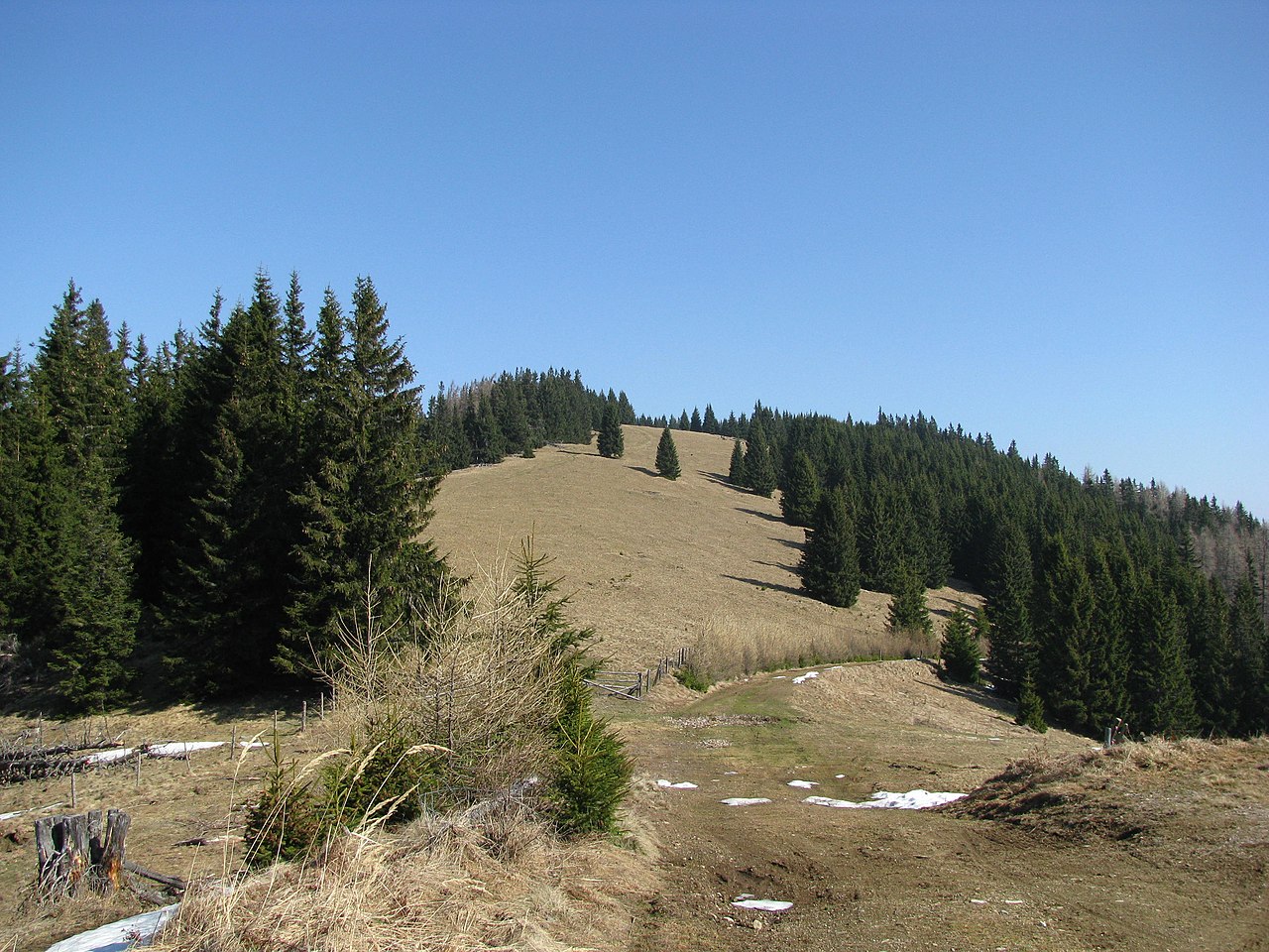
The Floning is a steep-sided, almost pyramid-shaped mountain 1,583 metres high on the border between Sankt Katharein an der Laming and Kapfenberg in northern Styria. Its slopes are unusually well forested for a peak in the Grauwacke zone, and a smaller summit called the Kleine Floning rises about one kilometre to the south at 1,553 metres. Geologists recognise the Floning as a remnant of ancient metamorphic rocks from the Palaeozoic era, mainly paragneiss and dark schist, which form a narrow strip between the Hochschwab limestone massif and the Central Alps core. Eastwards the peaks of this Central Alpine block, known to crystallinologists as the Middle Austroalpine, gradually drop until they vanish beneath young sediments 50 kilometres away at the Semmering Pass. Yet around the Floning the rocks are mixed with Dinaric and Triassic layers, smoothing the northern face and rounding the nearby Himmel massif. A fast mountain stream, the Strohsitzbach, cuts a narrow valley between the two summits before joining the Thörlbach at 600 metres. The steep cirque on the northern slope is called the Finstertal, while the source area is known as Strohsitz. Springs are abundant here, supplying local water needs. The whole ridge belongs to the Thörler Zug, a twenty-kilometre-long zone of interleaved rock slices, and is locally known as the Troiseck-Floning chain.
Opening hours and admission prices change with the season and are therefore not part of this text. Current details from the operator
Discover more in this region
Themes around Styria


Nearby
- Himmel2.5 km
- Schloss Thörl3.5 km
- Gewerkenhaus, sogen. Altes Haus3.6 km
- Schachenstein Castle3.7 km
- Wohnhaus, ehem. Kanzleigebäude3.3 km
- Kath. Filialkirche hl. Anna und Kruzifix3.8 km
QR-Code