📷 Image: Wikimedia Commons
Schwarza
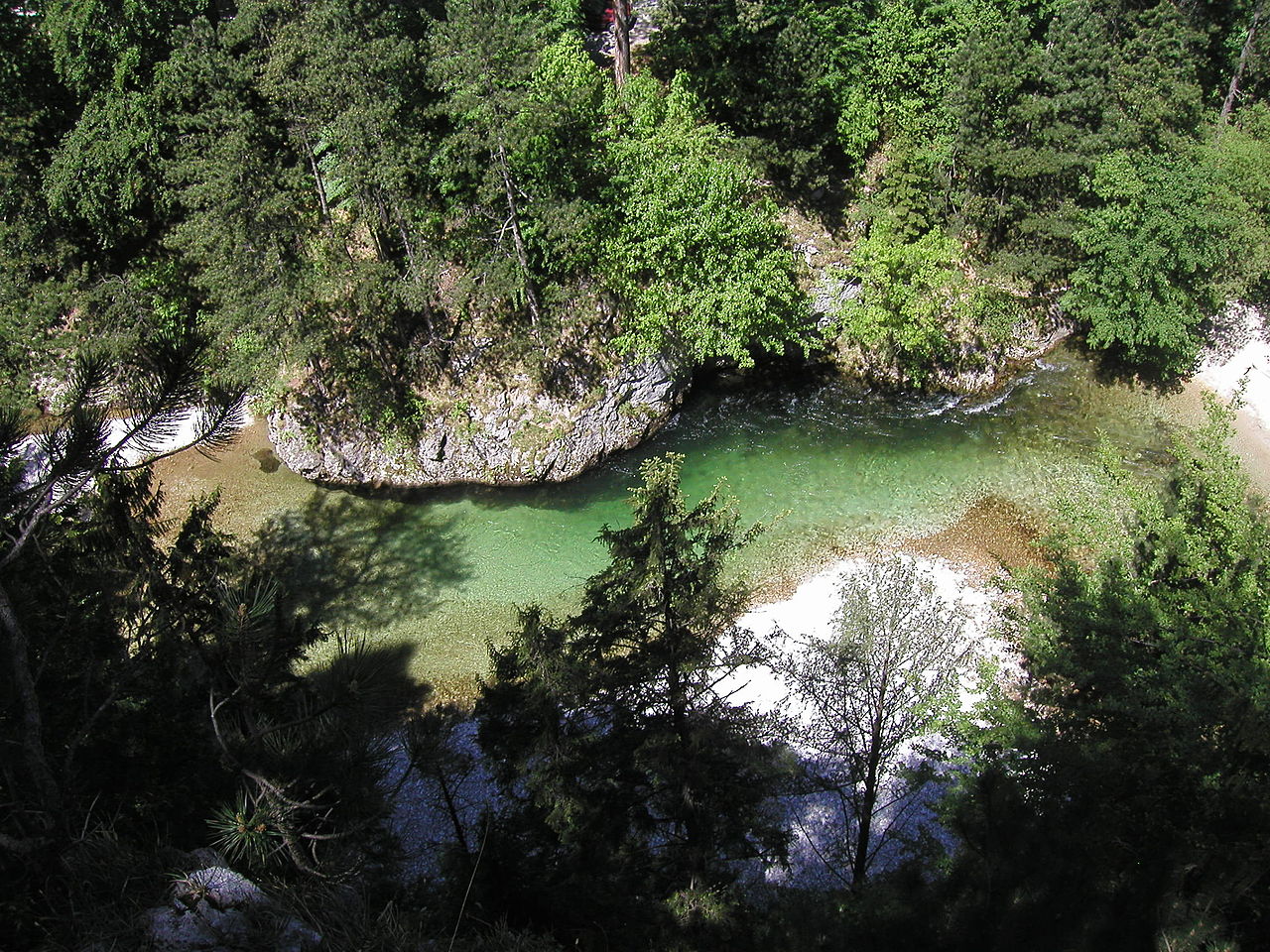
The Schwarza is a river in Lower Austria that begins in the Gutenstein Alps. It starts where the Grüne Schwarza and Dürre Schwarza meet in the Tiefental valley. The river flows through the Höllental gorge and the Schwarza valley before joining the Pitten near Haderswörth. From there, it becomes the Leitha. The Schwarza is 48 kilometres long and its basin covers 718 square kilometres. The river is known for its dramatic upper reaches, with high cliffs, deep gullies and gravel banks. Below Hirschwang an der Rax, the river is controlled until Schwarzau am Steinfeld. Between Schwarzau am Steinfeld and Bad Erlach, the Schwarza widens into gentle meanders. Near Loipersbach, much of the water disappears into the ground, reappearing only during heavy rain or snowmelt. The river once powered paper mills and timber rafts, and today it still drives small hydro plants. The Schwarza supports a variety of wildlife, including otters, grey wagtails and brown trout. Near Kaiserbrunn, conservationists have introduced artificial nests to help brown trout reproduce naturally. The river also supplies drinking water to Vienna through the 1st Viennese Spring Water Supply Network. The Höllental Road follows the river through the upper valley, offering views of its changing landscape.
Opening hours and admission prices change with the season and are therefore not part of this text. Current details from the operator
Discover more in this region
Themes around Lower Austria


Nearby
- Pitten23 m
- Leitha432 m
- Kriegerdenkmal1.1 km
- St. Antonius1.1 km
- Reiterer- Loibenböck Dorfheuriger1.2 km
- Aufnahmsgebäude Bahnhof Bad Erlach981 m
QR-Code