📷 Image: Wikimedia Commons
Poludnig
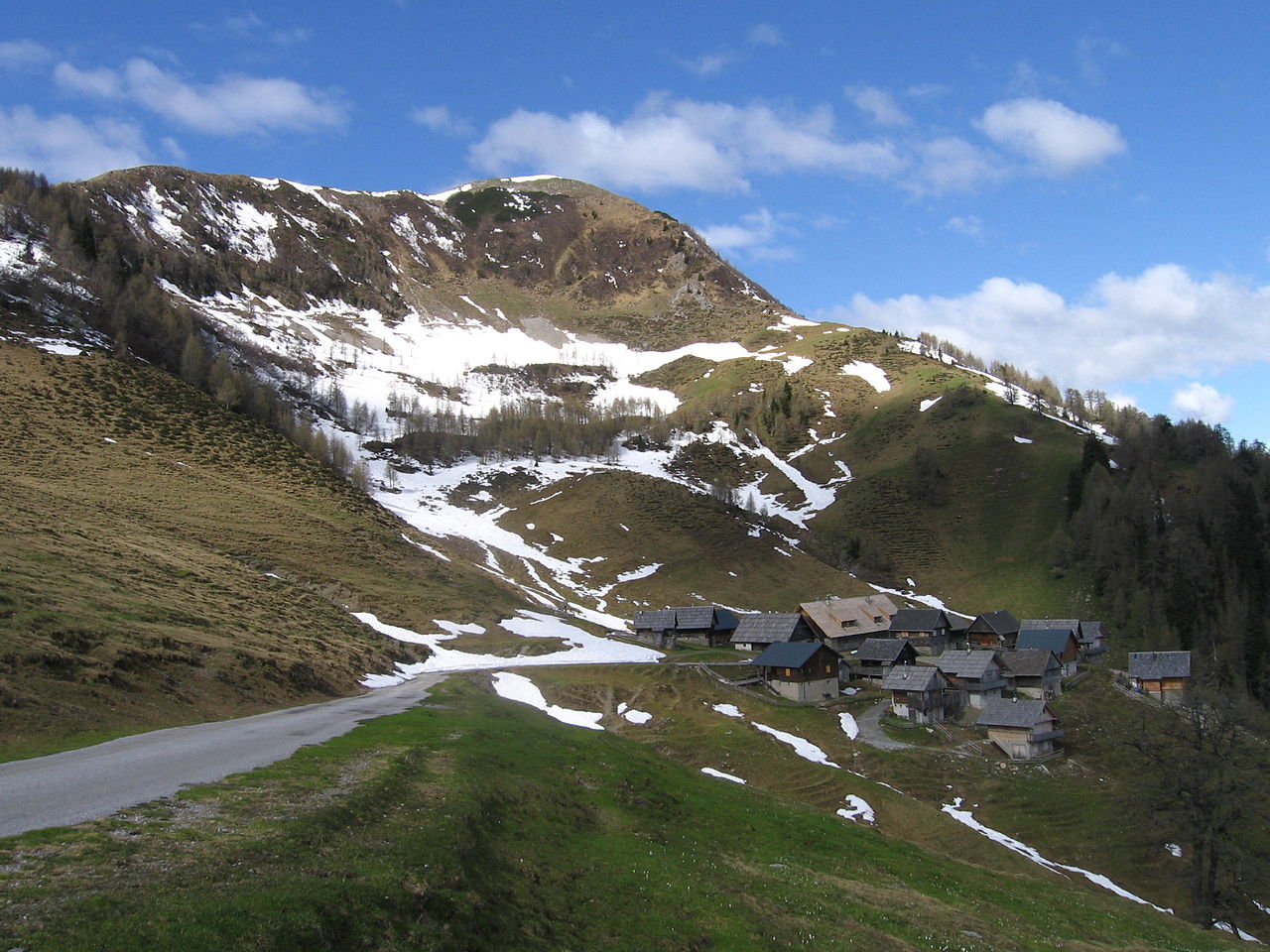
Poludnig is a 1,999-metre peak in the eastern part of the Carnic Alps, straddling the Austrian-Italian border. It stands between the Ojstrnik massif to the east and Monte Schinauz to the southwest, connected by the passes Kesselvald and Lom. The mountain slopes southwards into the Canal Valley, where the settlement of Naborjet lies, while its northern side overlooks the Gail Valley. The isolation of Poludnig gives it a fine outlook despite its modest height. From the summit, the view stretches over the Dobrač to the southeast, the Julian Alps with Mangart, Viš and Montaž to the south, the rest of the Carnic Alps to the southwest and west, and the Gailtal Alps to the north. Two alpine pastures lie close to the top: Poludniška planina at 1,708 metres and Dolska planina at 1,365 metres. A mountain road from Hermagor reaches Brška planina at 1,422 metres, where Egger Alm See lies. A stream called Seebach rises there and flows down the southern face. The northern slopes are crossed by two marked paths that lead to the summit, passing through the pastures above the Gail Valley.
Opening hours and admission prices change with the season and are therefore not part of this text. Current details from the operator
Discover more in this region
Themes around Carinthia


Nearby
- Egger Kanzel1.9 km
- Planja2.7 km
- Kapelle Zum Heiligen Kreuz in Brugg, Hermagor4.0 km
- Schönwipfel3.2 km
- Schloss Khünegg4.6 km
- Pfarrkirche hl. Michael, Egg, Hermagor4.6 km
QR-Code