Landmarks · Meßstetten
Weichenwang
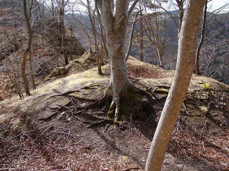
Weichenwang stands on the edge of the Swabian Jura, a limestone plateau 988.5 metres above sea level near Meßstetten. The mountain is crowned by a radome belonging to the German armed forces, which has stood there since 1963. Beneath the dome lie older military installations, including a radio listening-post from before the Cold War. The summit also carries microtoponyms such as ‘Weng’ and ‘Wangen’, names that recall vanished settlements. Legends speak of a lost town called Wangen and of a vanished Celtic centre named Pyrene. In 2010 traces of Crimean-Congo haemorrhagic fever virus were detected in the region’s old blood.
Pastor Alfred Ludwig Oetinger, stationed in Meßstetten and Hossingen from 1856 to 1868, uncovered important antiquities on the slopes. While workmen dug a drainage ditch he rescued a bronze cauldron and potsherds, later conducting systematic excavations. Among the finds were Celtic wagon burials with preserved wood and jewelled harness fittings. The area had previously attracted grave robbers, but Oetinger’s work revealed a short-lived but extensive settlement. Researchers in the 19th century could not date the remains precisely, leaving the site’s story partly untold.
Visitors reach the mountain along paths that cross the Heuberg Training Area. The radar installation and its radome dominate the skyline, a reminder of modern surveillance. Nearby, the names ‘Weng’ and ‘Wangen’ appear on military maps and in local speech. Tales of the Hemmadhäddlers tell of spectral horsemen who appear at midnight, while the Schimmelreiter is said to ride from the ruins of Burtel Castle to visit a secret lover. The landscape holds traces of earlier centuries, from Celtic burials to medieval castles, making Weichenwang a place where legend and archaeology meet.
Sources (1)
- Weichenwang (Wikipedia) (CC BY-SA 4.0, adapted)
Nearby