📷 Image: Wikimedia Commons
Oberinntal
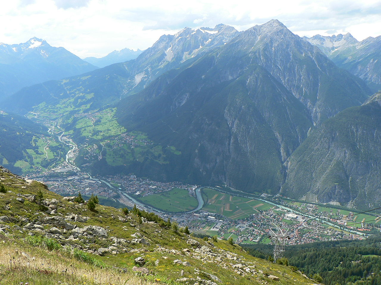
The Oberinntal is the upper stretch of the Inn valley in western Austria’s Tirol. It runs from the Swiss border near Pfunds eastward to the Melach river west of Innsbruck. The valley floor is narrow in places, carved into steep gorges near Zams and Roppen, then widens below Silz. To the north stand the Northern Limestone Alps, to the south the higher Central Alps, with peaks rising to three thousand metres. The Mieminger Plateau and several large side valleys—the Pitztal, Ötztal, Stanzer Tal and Gurgltal—join the main valley from the sides. The dry inner-Alpine climate brings little rain, strong winter sunshine and few foggy days. Annual rainfall averages around seven hundred millimetres, lowest in the south near Prutz. The valley’s protected position once made it a Roman route: parts of the Via Claudia Augusta crossed here. Later it formed the old judicial district called Oberes Gericht, and medieval counts built castles to control the route. Textile mills once thrived in Landeck, Imst and Telfs, though today most residents work elsewhere. Visitors pass through towns like Telfs, Imst and Zirl, where old farmsteads show rhaetian building styles. The valley’s main road and railway carry heavy east–west traffic toward the Arlberg, while the Fernpass route links the north and south Alps. Where the valley widens, fields and terraces stretch out beneath high rocky walls. The scenery shifts from narrow defiles to broad meadows, offering quiet views of alpine ridges and the Inn’s swift waters.
Opening hours and admission prices change with the season and are therefore not part of this text. Current details from the operator
Discover more in this region
Themes around Tyrol


Nearby
- Antoniuskapelle, Imst328 m
- Wallfahrtskapelle Maria Schnee in Gunglgrün954 m
- Marienbrunnen in Gunglgrün971 m
- Kapelle der Sonnbergschule1.4 km
- Ortskapelle Imsterau1.1 km
- Bildstock1.2 km
QR-Code