📷 Image: Wikimedia Commons
Spitzberg
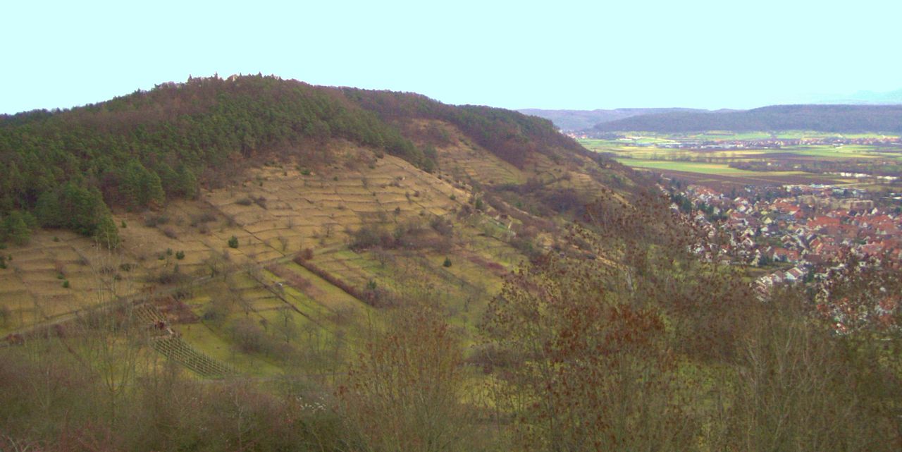
The Spitzberg rises above the Neckar valley near Tübingen as a wooded Keuper ridge, its flat top forming a plateau of Stubensandstein sandstone. The slopes drop steeply southwards to the river while the northern side falls gently towards the Ammer tributary. The hill is only 3.5 kilometres long and 1.5 kilometres wide, yet it shelters the Tiefenbach stream which begins on its southern flank. Botanists have studied the Spitzberg for more than a century, recording over twelve hundred kinds of ferns and flowering plants and more than thirteen hundred beetle species. Two small nature reserves protect parts of the southern slope, while the whole hill lies within a larger landscape protection area. Rare plants grow where management prevents scrub from taking over, keeping open habitats alive. Paths cross the plateau and climb to the Wurmlinger Kapelle on the western spur. The Kapellenweg is used daily by walkers, runners and cyclists, while the 42-kilometre Literature-Tour trail and the Ludwig-Uhland-Liederpfad both pass over the crest. From the Taubenloch viewpoint near Hirschau the Neckar valley unfolds below, and old vineyard terraces recall the days when Tübingen’s wine-growers tended the sunny southern slopes.
Opening hours and admission prices change with the season and are therefore not part of this text. Current details from the operator
Discover more in this region
Themes around Baden-Württemberg


Nearby
🗺 Create a tour from these spots → Back to Rottenburg am NeckarAll sights, taverns and what is on this week ← All places to visit in Baden-WürttembergQR-Code