📷 Image: Wikimedia Commons
Diesburg
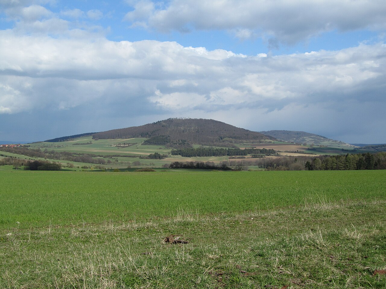
The Diesburg is a mountain 711.8 metres high in the Rhön range. It stands in the county of Schmalkalden-Meiningen in central Thüringen, part of the Hohe Geba massif. The nearest villages are Gerthausen, Wohlmuthausen and Helmershausen to the south-west and south-east, while Meiningen lies fourteen kilometres to the east. The summit carries the remains of a stone wall built by Celts in the third century BC. A basalt cone forms the core of the mountain, evidence of its volcanic origin. Two long-distance paths cross the ridge: the Rhön-Rennsteig trail links the Diesburg with Aschenhausen and the Gebaberg, and the Milseburgweg runs along the ridge as main route HWO3. The slopes lie within the Thüringische Rhön landscape-protection area. The mountain also falls inside the larger Geba-Tuften–Diesburg nature reserve and the Thüringische Rhön bird-protection zone. The Hörbach stream rises on the southern slope of the neighbouring Hohe Löhr and flows past the Diesburg into the Herpf, while the Katza runs north of the ridge.
Opening hours and admission prices change with the season and are therefore not part of this text. Current details from the operator
Discover more in this region
Themes around Thuringia


Nearby
- Protestant Church (Gerthausen)2.6 km
- Dom der Rhön3.2 km
- Gebaberg3.9 km
- Kaltenlengsfeld6.0 km
- Hohe Rhön4.4 km
- Oberes Feldatal Administrative Community6.0 km
QR-Code