📷 Image: Wikimedia Commons
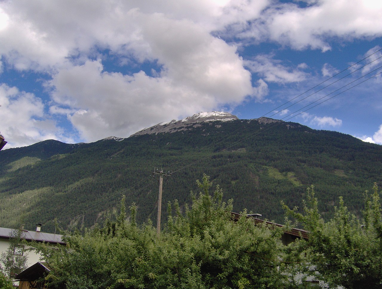
Tschirgant
The Tschirgant is a 2,370-metre mountain on the border of Karrösten and Karres near Imst in Tirol. Its shovel-shaped summit rises above the Inntal valley to the south and the Gurgltal to the north. Five municipal boundaries meet at the highest point, where three summit crosses mark the most visible ridges for villages below. The mountain belongs to the westernmost ridge of the Mieminger chain, a limestone range that stretches between the Oberinntal and the Gurgltal. The mountain’s rock layers tell of ancient shifts. A 3,000-year-old rockslide of 240 million cubic metres once dammed the Inn valley, creating today’s Forchet landscape. Traces of lead, silver and zinc mining from the 15th century still lie along the Geolehrpfad trail to the Karröster Alm. Geologists have linked the slide to a series of earthquakes of magnitude 5.5 to 6.5 that loosened the flank after the glacier retreated. Five marked alpine routes climb the Tschirgant from different sides. The southern route starts at the Karrer Alm at 1,613 metres above Karres. The eastern route begins at the Haiminger Alm at 1,786 metres. The north-western route leaves from the Karröster Alm at 1,467 metres. Each path rewards walkers with wide views across the Inntal and the surrounding limestone peaks.
Opening hours and admission prices change with the season and are therefore not part of this text. Current details from the operator
Discover more in this region
Themes around Tyrol


Nearby
- Wendelinbrunnen Karres1.2 km
- Wendelinbrunnen Karrösten1.6 km
- Alte Landstraße B12.4 km
- Dreifaltigkeitskapelle (Tarrenz)2.8 km
- Michaelskapelle Karres2.8 km
- Knappenwelt Gurgltal2.4 km
QR-Code