📷 Image: Wikimedia Commons
Long Mynd
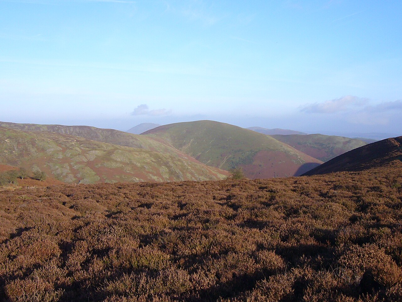
The Long Mynd is a wide, open moorland plateau in Shropshire, part of the Shropshire Hills National Landscape. It stretches about 11 kilometres long and 5 kilometres wide, rising steeply on its western side and sloping gently to the east. The land is common ground, owned mainly by the National Trust and managed by local commoners. Nearby villages include Church Stretton, Woolstaston and Ratlinghope, while the highest point is Pole Bank at 516 metres. The name comes from the old Welsh for ‘long mountain’, still used today in modern Welsh. The plateau has been shaped by centuries of grazing and natural forces. Evidence shows trees gave way to grass as early as the Bronze Age, and organised grazing began in the 13th century. Hardy ponies and sheep graze freely, helping to keep the land rich in wildlife. The area is a Site of Special Scientific Interest, protected for its rare plants and insects. Ancient farming practices like hefting mean sheep know their grazing boundaries without fences. Scientists have even monitored earthquakes here since 2006, with live data available online. Visitors walk across wide, heather-covered ridges and down into steep, narrow valleys. Cross-ridge dykes from the Bronze Age cut across the plateau, some still standing over a metre high. Tumuli and barrows dot the northern moor, including Robin Hood’s Butts and the Shooting Box Barrow. The Cardingmill Valley offers a gentler route up, while the Burway road crosses the heart of the plateau. From the top, views stretch across Shropshire to Wenlock Edge and the Stiperstones.
Opening hours and admission prices change with the season and are therefore not part of this text. Current details from the operator
Nearby
- Cross-dyke at Devil's Mouth, west of Burway Hill920 m
- Cross-dyke on Barrister's Plain, 800m south east of Narnell's Rock2.1 km
- Enclosure on Haddon Hill, 360m north-west of The Batch1.8 km
- Brockhurst Castle2.6 km
- St Laurence's Church, Church Stretton2.3 km
- Church Stretton2.3 km
QR-Code