📷 Image: Wikimedia Commons
Cape Cornwall
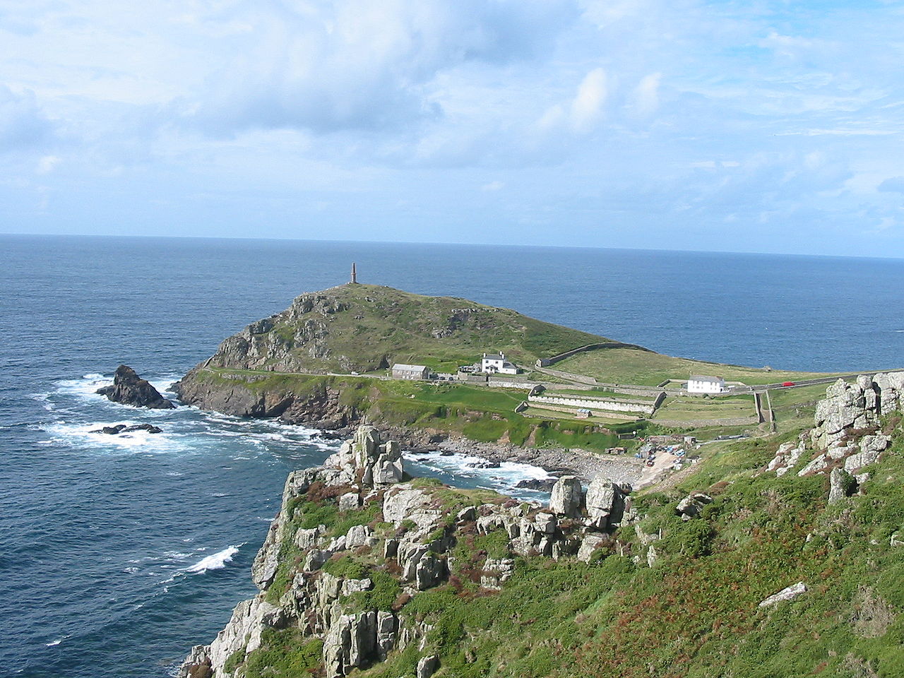
Cape Cornwall stands on the Atlantic coast near St Just in Penwith, a small headland that once marked the western edge of Cornwall. Until the early 19th century it was thought to be the most westerly point, though Land’s End lies just four miles south. The Cornish name Kilgoodh means ‘goose-back’, describing the cape’s shape. The site includes the remains of a medieval oratory and traces of Bronze Age cists beneath the turf. Two offshore rocks called the Brisons lie a mile to the southwest and set the start line for a yearly swim to Priest Cove. The cape’s tin mine operated between 1838 and 1883 and left a tall chimney that still helps sailors. The mine was bought in 1987 by H. J. Heinz and given to the nation, and its ruins form part of the Cornwall and West Devon Mining Landscape, a UNESCO World Heritage Site. National Coastwatch keeps a lookout on the seaward side, while the National Trust owns most of the headland. The only facilities are a car park, public toilets and a summer refreshment counter. Visitors walk the grassy slopes and see the mine chimney standing near the peak. The remains of the oratory lie on the landward side, and the offshore Brisons can be watched from the cliffs. The cape offers wide views across the Atlantic and along the rugged Cornish coast. The nearby town of St Just provides further interest with its historic buildings and mining heritage.
Opening hours and admission prices change with the season and are therefore not part of this text. Current details from the operator
Discover more in this region
Themes around England
All themes in England →
Nearby
- Ballowall Barrow716 m
- Two kerbed cairns 240m WSW of Boscregan2.3 km
- Medieval playing place known as Plain an Gwary, St Just1.9 km
- St Just2.0 km
- St Just in Penwith Parish Church2.1 km
- Courtyard house settlement 335m south of Nanjulian Farm3.1 km
QR-Code