📷 Image: Wikimedia Commons
Great Shunner Fell
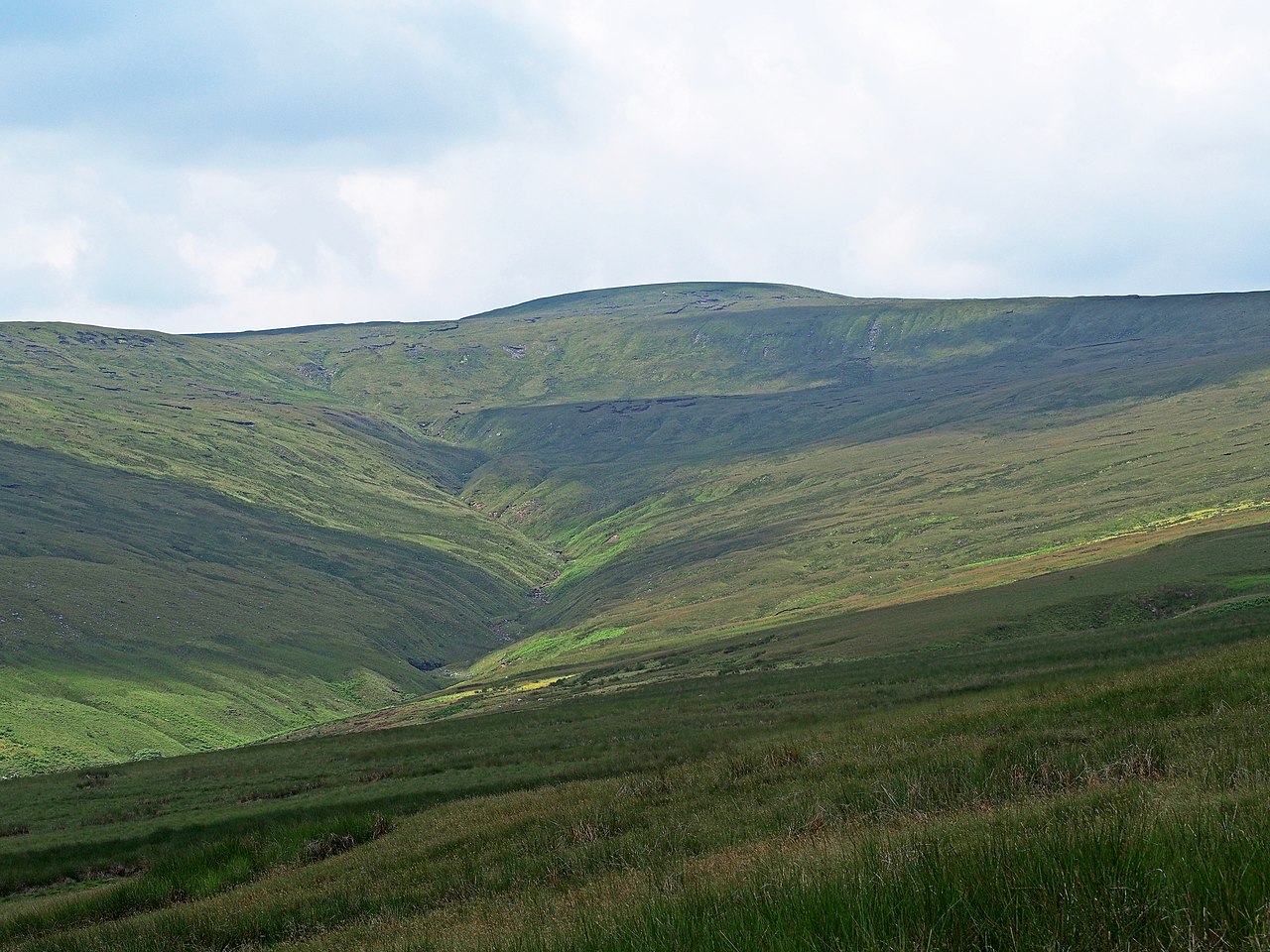
Great Shunner Fell rises in the Yorkshire Dales as the highest point in Wensleydale, reaching 716 metres above sea level. The Pennine Way crosses its summit between Hawes and Keld, a route so well used that it once wore a 70-metre strip of moorland bare. Flagstones laid in 1996 now protect the vegetation while guiding walkers to the top. From the summit the land falls away in sweeping views: south to Wensleydale, southwest to Ribblesdale, north to Swaledale, and beyond the A66 into Cumbria and County Durham. Two rivers begin on its slopes—Great Sleddale Beck becomes the River Swale, while the southern side feeds the River Ure. Beneath the surface lie layers of limestone, millstone grit and worked coal seams. A cross-shaped windbreak shelters the triangulation pillar at the highest point. The slopes also hold Britain’s most southerly colony of yellow marsh saxifrage, Saxifraga hirculus, a rare plant clinging to damp limestone. The contrast of pale limestone outcrops against the dark moorland gives the fell its distinctive character.
Opening hours and admission prices change with the season and are therefore not part of this text. Current details from the operator
Discover more in this region
Themes around England
All themes in England →
Nearby
- High Abbotside5.0 km
- Cotter Force5.8 km
- Hardraw Force5.9 km
- River Eden4.5 km
- Wain Wath Force5.5 km
- Catrake Force5.6 km
QR-Code