Landmarks · Espenau
Staufenberg

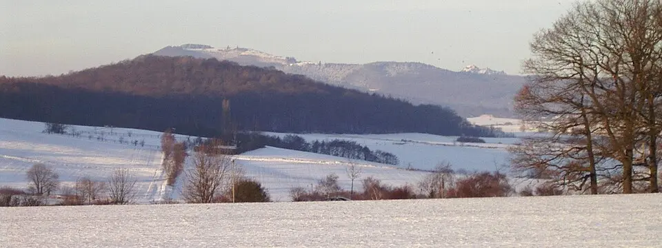
The Staufenberg rises above the rolling hills of the West Hessian Bergland, 361 metres above sea level. It stands on the Langen- and Staufenberg plateau, a stretch of wooded upland between the valleys of the Ahne and the Espe. The steelworks at Heckershausen once drew water from the Ahne, and the Elsche stream still rises close to the eastern slope.
The Diemel-Fulda watershed crosses the summit, sending streams north to the Weser by way of the Esse and Diemel. South-east flowing waters reach the Fulda through the Ahne or Espe. The plateau’s northern edge drops into the Hofgeismarer Rötsenke, while to the south the land falls toward the Kassel Basin.
A fast trunk road skirts the eastern flank of the Staufenberg, but most visitors arrive on quiet lanes that branch off toward Espenau or Heckershausen. From these roads a network of forest tracks and footpaths climbs steadily upward. The Märchenlandweg passes just north of the hill, while the Kassel-Steig keeps to the southern and eastern sides, offering long views across the countryside.
Sources (1)
- Staufenberg (Vellmar) (Wikipedia) (CC BY-SA 4.0, adapted)
Nearby