📷 Image: Wikimedia Commons
Meng
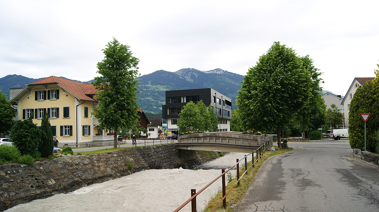
The Meng rises high in the Vorarlberg Alps at the Red Wall cliffs on the Naafkopf, about 2,154 metres above sea level. It races north through the Gamperdonatal, a narrow gorge known as the Mengschlucht, before joining the Ill in the village of Nenzing. The stream measures roughly 18 kilometres from source to mouth, with the Galina peaks on its left bank and the Fundlkopf chain on the right. The Meng has powered industry since 1897, when the Getzner textile company opened the Mengbachwerk hydro-electric plant. After the plant closed in 1984 the water rights passed to the Illwerke. Floods in 1910 caused heavy damage in Nenzing, prompting large-scale defences that were finished by 1930. Later floods in 1999 and 2005 led to further strengthening of the barriers along the Mengschlucht. The Gampbach tumbles down 500 metres in cascades before merging with the Meng halfway along its course. This left-bank tributary, five kilometres long, cuts through soft gravel left by ancient glaciers, carving the stepped rock faces seen today. The valley sides are lined with smaller streams such as the Plattenbach and the Trübbach, each adding to the mountain waterways that shape the Gamperdonatal landscape.
Opening hours and admission prices change with the season and are therefore not part of this text. Current details from the operator
Discover more in this region
Themes around Vorarlberg


Nearby
- Gaisbühel859 m
- Landeskrankenhaus Gaisbühel und Kapelle857 m
- Villa Schatzmann842 m
- Walgau935 m
- Doppelwohnhaus887 m
- Cemetery Nenzing903 m
QR-Code