📷 Image: Wikimedia Commons
Barmer Spitze
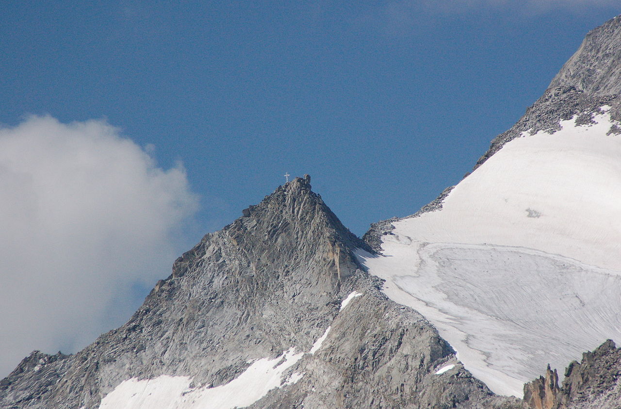
The Barmer Spitze stands on the border between East and South Tyrol, part of the Rieserferner Group. It rises near the Hochgall and is separated from it by the Krügergrat. The summit bears a metal cross and is named after the Barmen section of the German and Austrian Alpine Club, which runs the nearby Barmer Hütte. Close by are the Patscher Spitze and the Ohrenspitzen, divided by the Patscher Törl and the Riepenscharte. On the South Tyrol side the flanks belong to the Rieserferner-Ahrn Nature Park, while on the East Tyrol side they lie within the Hohe Tauern National Park. The normal route starts at the Barmer Hütte and descends to the old hut before heading gently to the junction for the Patscher Törl. From there a path turns southwest across the Rampleterkees glacier to reach the Patscher Törl and continue to the summit. The climb was once considered straightforward, but after a fatal accident in July 2008 the via ferrata to the Barmer Spitze was closed. In winter the mountain is often climbed from the Bachertal, a side valley of the Reintal in South Tyrol, via the Ursprungsbachtal and the Lenksteinferner. Visitors who reach the Barmer Spitze find a 3 200-metre summit with a metal cross and sweeping views. The route passes the old Barmer Hütte and the Patscher Törl before climbing the Rampleterkees. On clear days the panorama takes in the Hochgall, the Zillertal Alps and the Venediger Group. The surrounding ridges drop steeply into the Rieserferner-Ahrn Nature Park on one side and the Hohe Tauern National Park on the other.
Opening hours and admission prices change with the season and are therefore not part of this text. Current details from the operator
Discover more in this region
Themes around Tyrol


Nearby
- Patscher Spitze1.0 km
- Rieserferner Group877 m
- Hochgall880 m
- Kleine Ohrenspitze1.3 km
- Mittlere Ohrenspitze1.5 km
- Wildgall1.9 km
QR-Code