Landmarks · Rowhook
Stane Street

Image: Charlesdrakew · Public domain · Wikimedia Commons
Stane Street is a Roman road in southern England that once linked London to Chichester. It stretches for 91 kilometres through the counties of Surrey and Sussex, following a carefully planned route that avoids steep hills. The road was built to carry wheeled traffic, so engineers chose a path through the North Downs at a natural gap cut by the River Mole. Where the direct line would have climbed sharply, the road turns east of Leith Hill to stay on flatter ground. Today parts of the route are still visible as earthworks or followed by minor paths.
The road shows how Roman builders designed long-distance routes to last. Its central embankment, or agger, was raised and surfaced with layers of sand, gravel and flint, often topped with a cambered layer of metalling. Near Mickleham Downs the surface was made of water-washed pebbles, giving this stretch the local name ‘Pebble Lane’. At Alfoldean the road surface was built from iron slag, while elsewhere large flint nodules or sandstone slabs were used. The paved width averages 7.4 metres, wider than most Roman roads in Britain.
Along the route there were posting stations where messengers could rest and change horses. Two have been partly examined: Alfoldean, enclosed by deep ramparts and dated to about 90 AD, and Hardham, where geophysical surveys revealed gateways and ditches. The stations lay near river crossings, with Alfoldean linked to the Wealden iron industry. Sections of the road survive as scheduled monuments, and where modern roads do not cover it, the line can still be traced on maps.
Sources (1)
- Stane Street (Wikipedia) (CC BY-SA 4.0, adapted)
Nearby
What lies right next door.
Archaeology · 2.8 km
Section of Stane Street 300yds (275m) in length in Roman Woods

Churches · 4.4 km
Holy Trinity Church, Rudgwick
Landmarks · 7.0 km
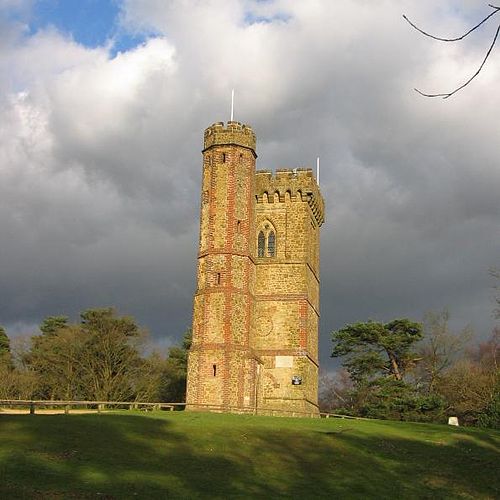
Leith Hill

Churches · 6.7 km
Horsham Unitarian Church
Museums · 7.9 km
Christs Hospital School Museum

Landmarks · 7.9 km
Christ's Hospital