📷 Image: Wikimedia Commons
River Loughor
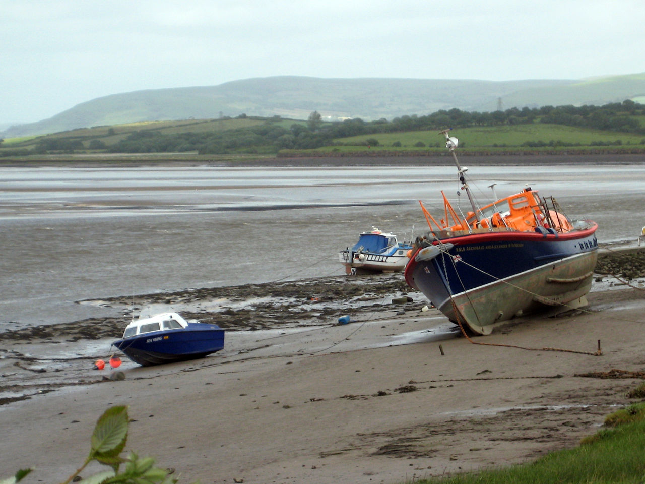
The River Loughor rises from a cave beneath the Black Mountain and appears at Llygad Llwchwr, the ‘eye of the Loughor’. It flows past Ammanford and Hendy in Carmarthenshire, then crosses into Swansea at Pontarddulais where it becomes tidal. The river ends in a wide estuary near Loughor town, splitting Carmarthenshire’s south coast from the Gower Peninsula. Two tributaries, the River Amman and the River Morlais, join the Loughor near Pantyffynnon. The whole catchment covers about 262 square kilometres. Salmon and sea trout once filled the river, carried by pony to Swansea Market in the 18th century. Industrial pollution in the 19th century reduced the fishery. Today the estuary below the bridges empties at low tide, revealing wide sand flats used for cockle gathering. Villages such as Crofty, Llanmorlais and Penclawdd depend on the cockle industry, though commercial licences are limited. The estuary is also an internationally important site for waders and wildfowl. Whiteford Point juts out from Gower as a National Nature Reserve, home to rare plants and a disused cast-iron lighthouse. Nearby, wartime gun batteries and buried munitions have left traces that bomb disposal teams still clear. The area forms part of the Burry Inlet and Loughor Estuary Site of Special Scientific Interest, protected to conserve its wildlife.
Opening hours and admission prices change with the season and are therefore not part of this text. Current details from the operator
Nearby
- Loughor Town Defences567 m
- Loughor Castle659 m
- Gowerton Castle1.5 km
- Bwlch Farm Museum1.0 km
- Loughor1.4 km
- Llwchwr2.4 km
QR-Code