📷 Image: Wikimedia Commons
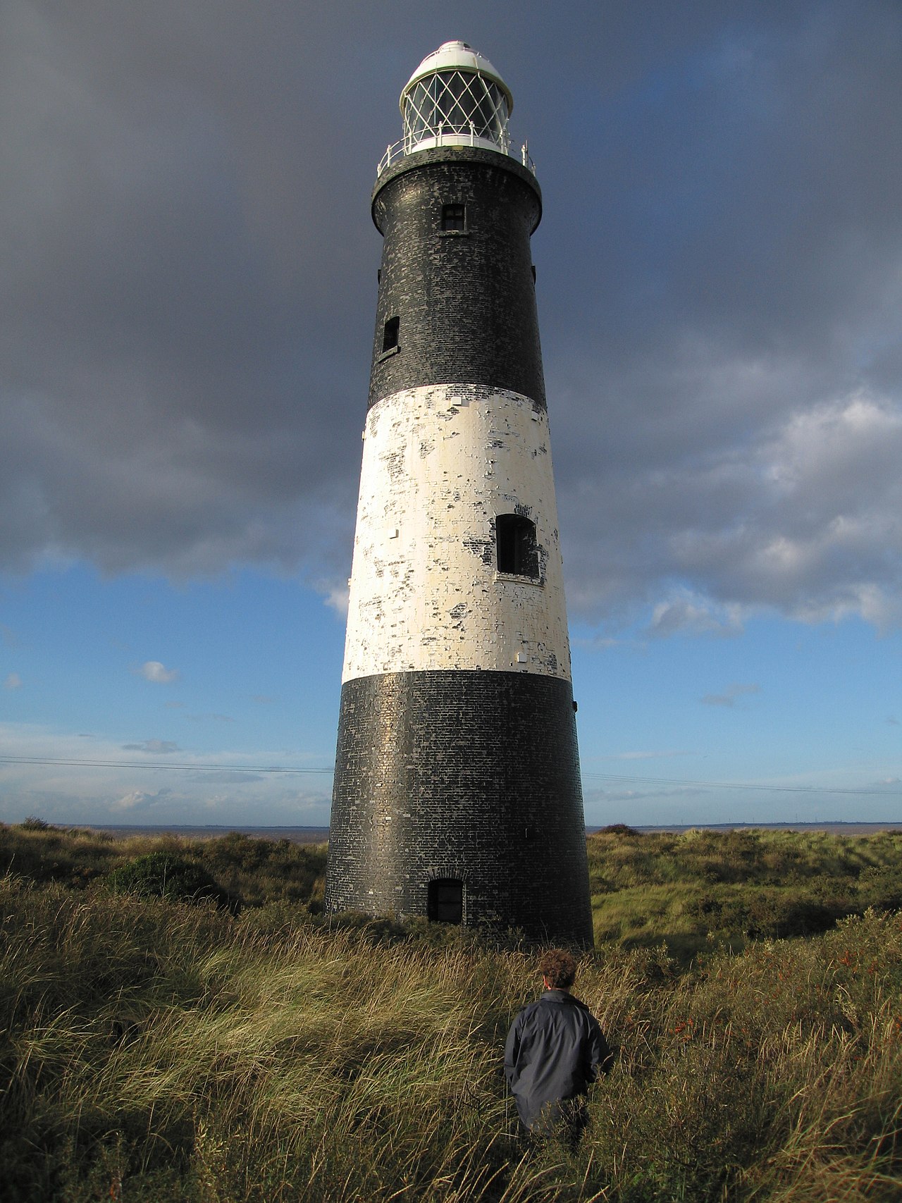
Spurn Lighthouse
Spurn is a narrow sand tidal island on the East Riding of Yorkshire coast where the Humber Estuary meets the North Sea. It stretches over five kilometres into the water and is barely forty-five metres wide in places. The southern tip, Spurn Head, once housed an RNLI lifeboat station and two lighthouses until early 2023. The island covers 113 hectares above high water and 181 hectares of foreshore, owned by the Yorkshire Wildlife Trust since 1960. It forms part of a national nature reserve and a Special Protection Area for birds. The site has long been important for navigation and history. Classical writers knew it as Ocelum Promontorium, and medieval ports like Ravenspurn once stood here before the sea claimed them. Henry of Bolingbroke landed at Ravenspurn in 1399 to depose Richard II, while Sir Martin de la See led local resistance against Edward IV in 1471. During the First World War, coastal artillery batteries were built at either end of Spurn Head, and parts of an old railway line still remain visible. Visitors walk the shifting sands of Spurn Head, where the wind carries sand along the peninsula and reshapes it over time. The bird observatory monitors migrating birds, with east winds in autumn bringing thousands of Scandinavian migrants through the area. Old lighthouse foundations and wartime gun emplacements lie along the shore, while the newer visitor centre opened in 2018 offers views across the estuary. The landscape is wild and open, shaped by tides and storms, making it a place where nature and history meet.
Opening hours and admission prices change with the season and are therefore not part of this text. Current details from the operator
Nearby
- Spurn Point Low Light156 m
- St Mary's Church, Welwick11.7 km
- Cleethorpes9.7 km
- Empire Theatre, Cleethorpes10.0 km
- Humberston Abbey11.1 km
- St Peter's Church, South Somercotes17.5 km
QR-Code