📷 Image: Wikimedia Commons
Carrock Fell
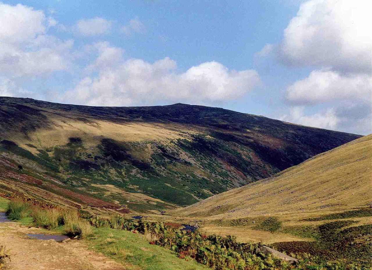
Carrock Fell is a fell in the Lake District National Park, eight miles north-east of Keswick in north-west England. It stands apart from the grassy northern fells because its slopes are rocky and jagged. The fell’s name comes from an old word meaning a hard, stony place. It rises to 661 metres and drains into the River Caldew, which flows towards the Solway Firth. Carrock Fell is bordered by two subsidiary tops, Round Knott and Milton Hill, on its western ridge. Alfred Wainwright, the Lake District writer, rated it the second most interesting fell in the northern area after Blencathra. The fell’s gabbro rock is the same type that forms the Black Cuillin on Skye, making it the best place for climbing in the northern fells. Mining once thrived here, with tungsten, lead, arsenic and iron extracted over centuries. The Carrock Mine opened in 1854 and closed in 1981, its site later restored to its original shape. Charles Dickens and Wilkie Collins climbed the fell in 1857 and later wrote a humorous account of their trip. Visitors reach the fell from a road near the old mine site or from the lane between Mungrisedale and Hesket Newmarket. The eastern slopes are called the Apronful of Stones and lead up through boulders and crags. The summit offers wide views east to the Pennines across the Eden valley. The remains of an Iron Age hill fort crown the top, built by the Celts and later damaged by the Romans. The path from the mine site is steep, while the eastern route winds through rough, rocky ground.
Opening hours and admission prices change with the season and are therefore not part of this text. Current details from the operator
Nearby
- Rospow Hills prehistoric cairnfield and associated field system 740m south west of High Wath Ford1.0 km
- Weasel Hills prehistoric cairnfield, associated field system, hut circle and a funerary cairn, immediately north and north west1.8 km
- Mosedale2.0 km
- Bowscale Fell3.2 km
- High Pike2.7 km
- Hutton Roof3.2 km
QR-Code