📷 Image: Wikimedia Commons
Blauen
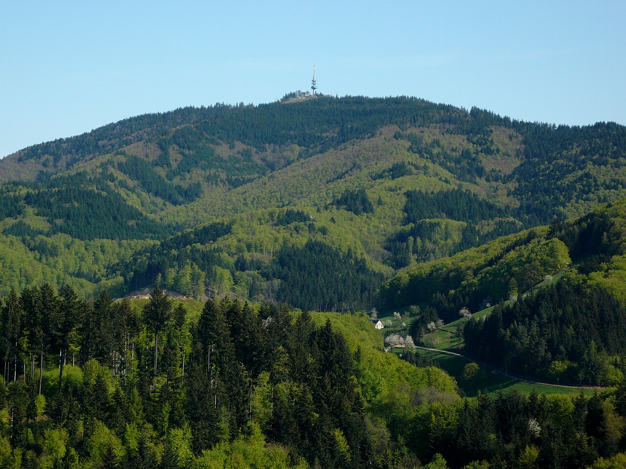
Blauen is a 1,165-metre mountain in the southern Black Forest. Its summit lies within three municipalities and offers wide views across the Black Forest, Vosges, Jura Mountains and the Alps. The peak is known locally as Hochblauen and has a lower sub-peak called Hinter Blauen. The name may come from old smelting sites or from the blue haze of the surrounding coniferous forests. Maps from the 18th and 19th centuries show the mountain simply as Blauen. The mountain has been a destination since the 19th century when a forest inn opened in 1872. A summit house called Krone des Blauen followed in 1875 and was enlarged twice to cope with visitors. Electricity arrived in 1925 via a cable from Marzell, and motor vehicles reached the top after the High Blauen Road opened in 1928. A Sunday bus now links the summit with Basel during summer months, and the West Way long-distance path crosses the peak. At the top stands the Berghaus Hochblauen, an inn that once offered overnight stays. Nearby is an observation tower built in 1895 and restored in 1984, open at all times for panoramic views. A modern transmission tower stands close by, broadcasting several radio stations across the region and into Switzerland. To the northeast, at 1,074 metres, lies Stockberg Castle, likely the highest castle site in Baden-Württemberg.
Opening hours and admission prices change with the season and are therefore not part of this text. Current details from the operator
Discover more in this region
Themes around Baden-Württemberg


Nearby
- Sender Blauen47 m
- Hochblauen Observation Tower99 m
- Stockburg1.4 km
- Wallburg Badenweiler2.2 km
- Malsburg-Marzell2.0 km
- Burg Grüneck2.3 km
QR-Code