📷 Image: Wikimedia Commons
Beinn Achaladair
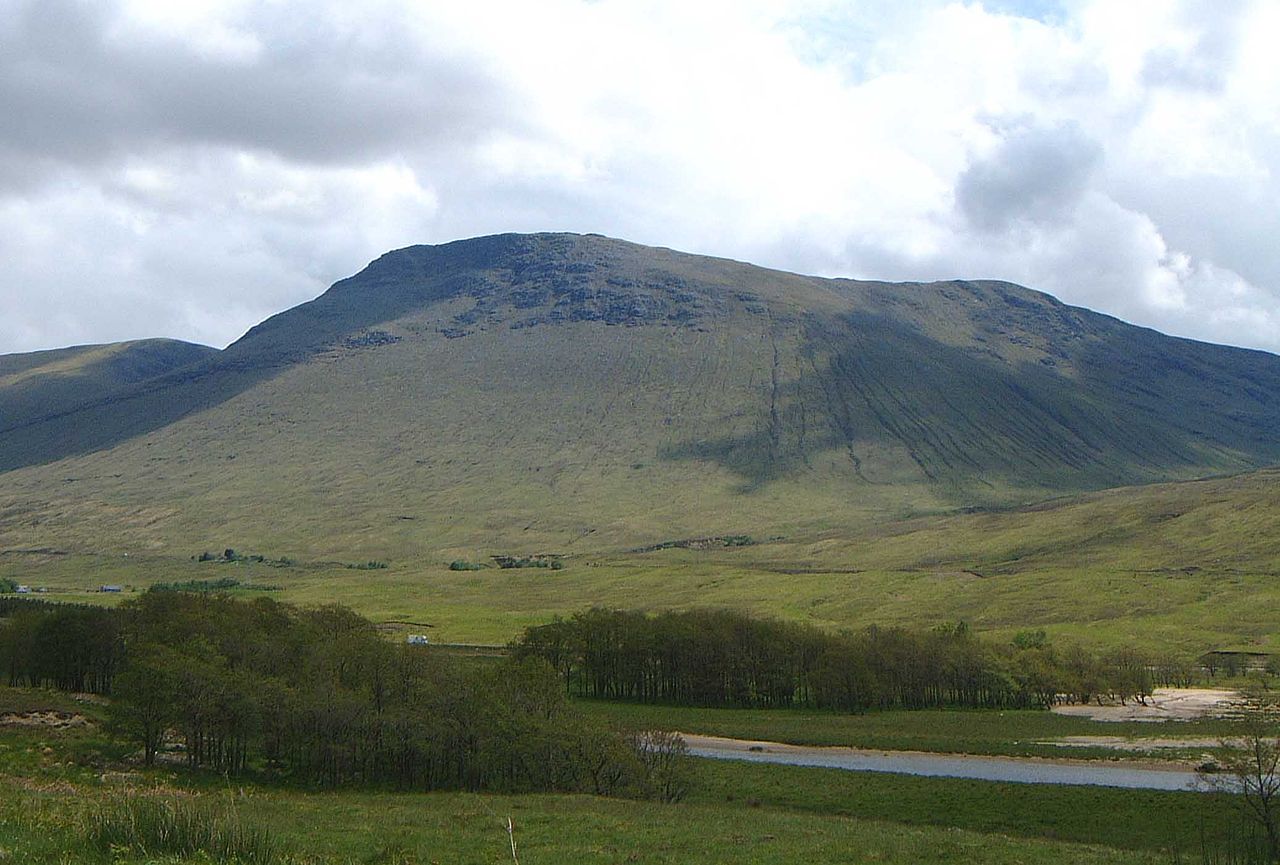
Beinn Achaladair is a Scottish mountain six kilometres north-east of Bridge of Orchy, straddling the Perth and Kinross–Argyll and Bute border. The A82 road and the West Highland Line run close to its foot, the railway crossing the lower northern slopes before heading across Rannoch Moor to Fort William. From the north-west the mountain presents steep, wall-like slopes that form part of the Great Wall of Rannoch, a historic boundary between the old Pictish Kingdom and the Dál Riata kingdom of the Scots. The summit ridge curves for almost two kilometres, with the highest point at the northern end overlooking Rannoch Moor. Two cairns mark the top, the more northerly one being the highest by a couple of feet. The mountain reaches 1,038 metres and is classed as both a Munro and a Marilyn. The name Achaladair comes from the Gaelic for ‘field of hard water’, referring to the flooded and frozen ground around Loch Tulla in past centuries. At the foot of the northern slopes stands Achallader farm, once the site of Achallader Castle, one of Campbell of Glenorchy’s seven strongholds, whose ruins remain beside the farmhouse. Hamish Brown and others suggest the hill’s name may instead mean ‘hill of the mower’. Two corries cut into the slopes: Coire nan Clach on the east contains eight tiny lochans and drains into Loch Lyon, while Corrie Achaladair to the south forms a col with Beinn an Dotaidh. All drainage from the eastern side reaches the Firth of Tay via Loch Lyon, Loch Tay and the River Tay. The usual route starts from Achallader farm, where walkers may park in a field and leave money in an honesty box. From the farm the path ascends Coire Achaladair, passing several impressive waterfalls to reach the col with Beinn an Dotaidh. A three-kilometre walk north then leads to the summit, passing the South Top at 1,002 metres before climbing over 300 metres vertically. The view from the top takes in the flat expanse of Rannoch Moor, making the height feel more dramatic. The western and northern slopes are rocky higher up, giving way to grassy lower slopes riven with small streams that feed the Water of Tulla and Loch Tulla.
Opening hours and admission prices change with the season and are therefore not part of this text. Current details from the operator
Nearby
- Beinn an Dòthaidh2.7 km
- Achallader Castle2.5 km
- Beinn a' Chreachain3.0 km
- Beinn Mhanach3.6 km
- Beinn Dòrain5.7 km
- Beinn a' Chaisteil6.8 km
QR-Code