📷 Image: Wikimedia Commons
River Tamar
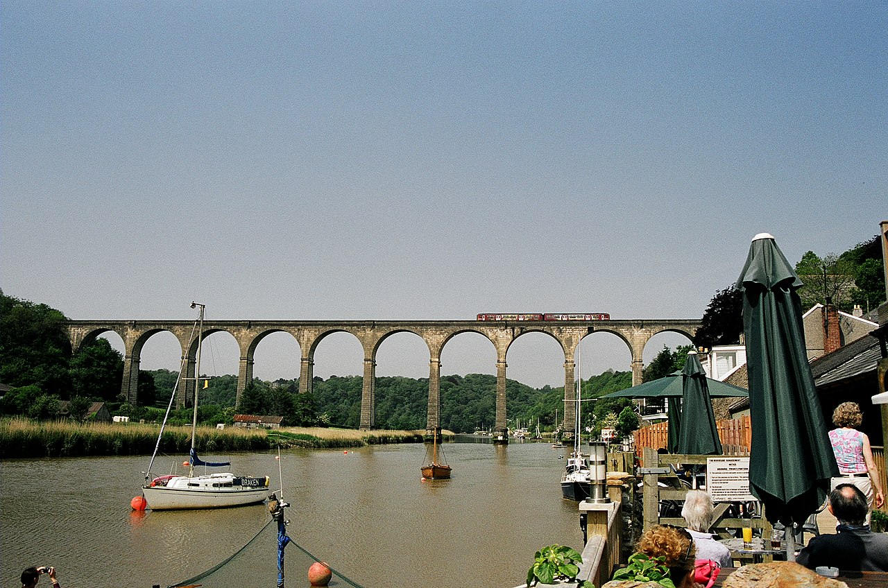
The River Tamar runs for 61 miles through south-west England, forming the Devon–Cornwall border. It rises less than four miles from the north Cornish coast and winds south to Plymouth Sound. The Tamar Valley National Landscape protects 195 square kilometres of its lower course and tributaries. The river’s estuary is a Site of Special Scientific Interest and a Special Area of Conservation. Ancient writers called it ‘great water’, and Ptolemy recorded its name in the second century. The valley’s mining past left engine houses, deep pits and export docks such as Morwellham Quay. These remains form part of the Cornwall and West Devon Mining Landscape, a UNESCO World Heritage Site. The Tamar Discovery Trail follows the river for 35 miles through the valley. Kit Hill rises 334 metres above sea level within the protected area. The estuary supports nationally important wintering avocets and other waders and wildfowl. Visitors find quiet lanes, riverside footpaths and views across wooded hills. The Tamar–Tavy Estuary Nature Reserve offers birdwatching beside tidal waters. Two small reservoirs, Upper and Lower Tamar Lakes, lie on the upper course. The river’s banks carry traces of medieval and modern mining activity. Rocky reefs in low-salinity stretches inland host unusual marine species. The border between Devon and Cornwall runs along the river’s centre where it is tidal.
Opening hours and admission prices change with the season and are therefore not part of this text. Current details from the operator
Nearby
- Firestone Bay artillery tower523 m
- Mount Edgcumbe House819 m
- Globe Theatre1.0 km
- Stonehouse1.4 km
- The West Ropery (site of), South Yard, Devonport Dockyard1.3 km
- Picklecombe Fort1.7 km
QR-Code