📷 Image: Wikimedia Commons
Mersea Island
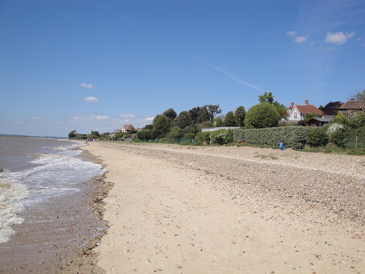
Mersea Island lies off the Essex coast where the Blackwater and Colne rivers meet. A tidal island, it is reached by the Strood causeway which can flood at high tide, splitting it from the mainland. The island has two main parts: West Mersea, the main settlement with a marina and fishing fleet, and East Mersea, mostly farmland and saltmarsh. Saltmarshes and mudflats surround the island, forming a haven for wading birds. The Pyefleet Channel separates it from Ray Island to the north while Packing Marsh and Cobmarsh lie to the southwest. The island’s past reaches back to pre-Roman times, with evidence of Celtic salt workings and Roman remains found near the Church of St Peter & St Paul. Fishing, especially oysters, has shaped its economy since Roman days, and smuggling thrived from the 16th to 19th centuries. During the world wars, troops were stationed here and observation posts remain visible. Mersea Week each summer brings boat racing and festivals that draw visitors from across the region. West Mersea’s Old City shows fishing and yachting heritage through its listed buildings and working jetty. The beach and esplanade stretch along the shore where the tide exposes wide flats of sand and mud. Cudmore Grove County Park in East Mersea offers walking trails through farmland and coastal scenery. The Two Sugars Café sits in a former wartime pillbox beside the seafront, while holiday parks and beach huts cater for summer visitors. The island’s quiet lanes and waterside views give a glimpse of its layered history and natural beauty.
Opening hours and admission prices change with the season and are therefore not part of this text. Current details from the operator
Discover more in this region
Themes around England
All themes in England →
Nearby
- Roman saltern 750m north west of Maydays Farm807 m
- Mersea Mount: a Roman barrow at Barrow Hill Farm784 m
- West Mersea2.5 km
- Roman round building2.9 km
- Mersea Island Museum3.0 km
- Saxon coastal fish weir at Sales Point5.5 km
QR-Code