Památky v St Cleer
50 cílů na jednom místě.
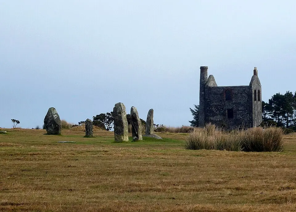
Pamětihodnosti v místě St Cleer
50 · Strana 1 z 3


- Prehistoric irregular and regular aggregate field systems with incorporated stone hut circles 750m ENE of Siblyback Farm
- Prehistoric regular aggregate field system with two incorporated stone hut circles 850m north-east of Siblyback Farm
- Deserted medieval settlement 650m north-east of Siblyback Farm
- Prehistoric irregular and regular aggregate field systems, enclosure, stone hut circles, cairnfield and kerbed boulder 750m ESE
- Group of four round cairns 810m ENE of Sparretts Farm
- Two round cairns 768m and 778m ENE of Sparretts Farm
- Platform cairn 225m west of Minions
- Embanked platform cairn with internal mound and peripheral berm 1km NNE of Trewalla Farm
- Two cairns 550m and 587m ENE of Trewalla Farm and two adjacent small clearance cairns
- Kerbed platform cairn with kerbed central mound and outer bank 600m east of Trewalla Farm
- Two round cairns 455m and 475m NW of Trewalla Farm
- Two platform cairns 750m and 785m E of Sparretts Farm
- Platform cairn with central mound 760m ESE of Lambadla Farm
- Platform cairn with central mound 900m ESE of Lambadla Farm
- Prehistoric kerbed boulder 140m SW of the Goldiggings Quarry
- Tor cairn on Newel Tor, 1.5km north of Siblyback Farm
- Prehistoric irregular aggregate field system with incorporated stone hut circles 375m SSE of Sparretts Farm
- Earlier Prehistoric hillfort, adjacent round cairn with incorporated shelter, and tor cairn on Tregarrick Tor
- Two adjacent stone hut circles 290m west of Trewalla Farm
- Prehistoric regular aggregate field system with incorporated and adjacent stone hut circles and an adjacent enclosure 550m WSW o
← Všechna místa v Cornwall
Data a obrázky z otevřených zdrojů: Wikidata (CC0), OpenStreetMap (ODbL), Wikimedia Commons. Všechny zdroje a licence →